Richmond night lights from space
Night Light of Richmond (California) from space (United States) Src. Average luminocity for 10x10km area is 72.1429% and for 50x50km: 37.3959%.
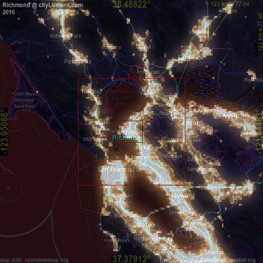
Analysis of Richmond night lights 2016
Square area 10x10 km:
 22.4%
22.4%90-99
21.75%80-89
6.66%70-79
6.33%60-69
7.79%50-59
8.44%40-49
7.31%30-39
7.31%20-29
9.58%10-19
2.44%0-9
0%Square area 50x50 km:
8.98%90-99
6.88%80-89
2.18%70-79
4.14%60-69
4.54%50-59
5.7%40-49
6.57%30-39
5.84%20-29
11.35%10-19
16.42%0-9
27.4%Clear (daylight) street map image can be seen on geolist.org.
Map coordinates:
38° 29' 17.6" North, 123° 3' 3.2" West
37° 56' 8.7" North, 122° 20' 51.9" West
37° 22' 44.8" North, 121° 38' 40.7" West
Some cities around Richmond sort by population:
• Berkeley
9.7 km =6 mi,  137°
137°
• San Pablo
2.9 km =1.8 mi,  3°
3°
• El Cerrito
3.9 km =2.4 mi,  125°
125°
• Albany
7 km =4.3 mi, 141°
• Pinole
8.7 km =5.4 mi,  29°
29°
• El Sobrante
6.5 km =4 mi,  45°
45°
• Tara Hills
7 km =4.3 mi,  23°
23°
• Kensington
6.6 km =4.1 mi,  115°
115°
5387428 (p: 109,708)
Sources (retrieved 2019-11-25):
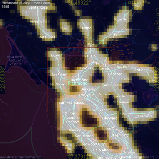
» NASA, Earths city lights 1995
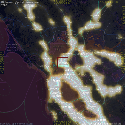
» NASA city lights 2003
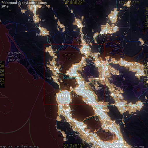
» Earth at Night: Flat Maps 2012, 2016