Emeryville night lights from space
Night Light of Emeryville (California) from space (United States) Src. Average luminocity for 10x10km area is 83.4252% and for 50x50km: 46.203%.
Analysis of Emeryville night lights 2016
Square area 10x10 km:
 34.18%
90-99
29.08%80-89
2.38%70-79
8.16%60-69
7.82%50-59
4.25%40-49
5.1%30-39
7.48%20-29
1.53%10-19
0%0-9
0%Square area 50x50 km:
11.34%90-99
9.63%80-89
2.58%70-79
5.37%60-69
6.21%50-59
6.8%40-49
7.1%30-39
6.64%20-29
12.92%10-19
16.8%0-9
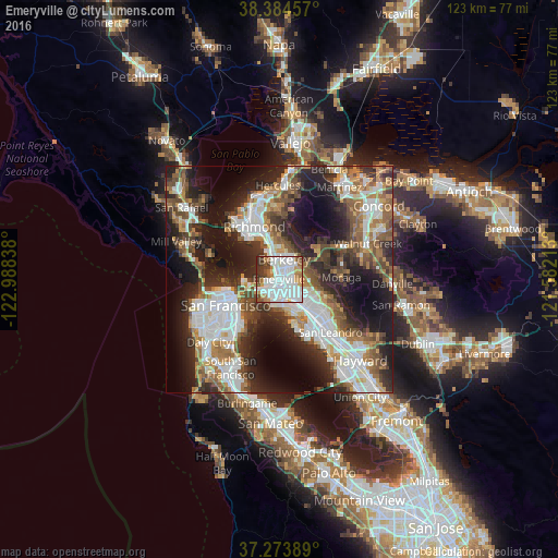
14.6%Clear (daylight) street map image can be seen on geolist.org.
Map coordinates:
38° 23' 4.5" North, 122° 59' 18.2" West
37° 49' 52.8" North, 122° 17' 6.9" West
37° 16' 26" North, 121° 34' 55.7" West
Some cities around Emeryville sort by population:
• Oakland
3.3 km =2.1 mi,  157°
157°
• Berkeley
4.6 km =2.9 mi,  13°
13°
• Alameda
8.3 km =5.2 mi,  152°
152°
• El Cerrito
9.7 km =6 mi,  346°
346°
• Albany
6.3 km =3.9 mi, 349°
• Orinda
10.6 km =6.6 mi,  61°
61°
• Piedmont
4.8 km =3 mi,  99°
99°
• Kensington
8.8 km =5.5 mi,  2°
2°
5346462 (p: 11,694)
Sources (retrieved 2019-11-25):
» Earth at Night: Flat Maps 2012, 2016