Abilene night lights from space
Night Light of Abilene (Texas) from space (United States) Src. Average luminocity for 10x10km area is 85.13% and for 50x50km: 10.9706%.
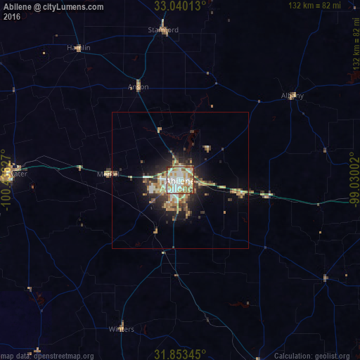
Analysis of Abilene night lights 2016
Square area 10x10 km:
 22.89%
90-99
30.59%80-89
13.37%70-79
15.57%60-69
7.51%50-59
6.78%40-49
2.2%30-39
0.92%20-29
0.18%10-19
0%0-9
0%Square area 50x50 km:
1.33%90-99
1.94%80-89
1.77%70-79
1.85%60-69
1.62%50-59
1.18%40-49
1.07%30-39
1.85%20-29
2.78%10-19
5%0-9
79.6%Clear (daylight) street map image can be seen on geolist.org.
Map coordinates:
33° 2' 24.5" North, 100° 26' 10.6" West
32° 26' 55.5" North, 99° 43' 59.3" West
31° 51' 12.4" North, 99° 1' 48.1" West
Some cities around Abilene sort by population:
• San Angelo
128.1 km =79.6 mi,  211°
211°
• Stephenville
146 km =90.7 mi,  99°
99°
• Brownwood
107.9 km =67 mi,  139°
139°
• Snyder
114.9 km =71.4 mi,  285°
285°
• Sweetwater
63.2 km =39.3 mi,  272°
272°
• Graham
129.6 km =80.5 mi,  55°
55°
• Breckenridge
85 km =52.8 mi,  66°
66°
• Brady
150.8 km =93.7 mi,  165°
165°
4669635 (p: 121,721)
Sources (retrieved 2019-11-25):
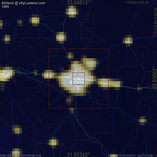
» NASA, Earths city lights 1995
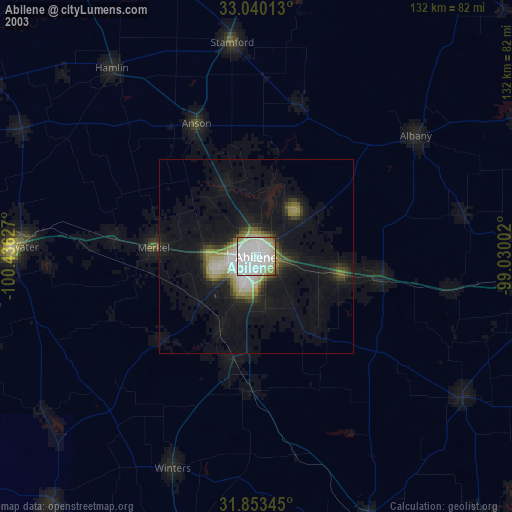
» NASA city lights 2003
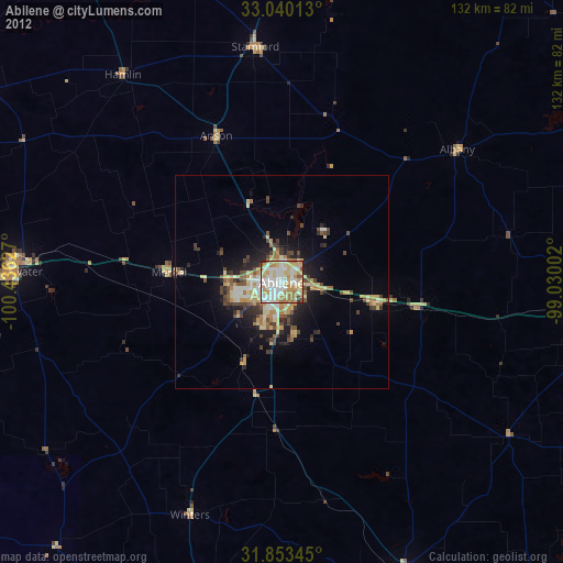
» Earth at Night: Flat Maps 2012, 2016