Brady night lights from space
Night Light of Brady (Texas) from space (United States) Src. Average luminocity for 10x10km area is 16.4249% and for 50x50km: 0.9472%.
Analysis of Brady night lights 2016
Square area 10x10 km:
 0.55%
0.55%90-99
1.65%80-89
5.31%70-79
2.38%60-69
3.48%50-59
1.47%40-49
0.73%30-39
2.75%20-29
0%10-19
3.11%0-9
78.57%Square area 50x50 km:
0.02%90-99
0.07%80-89
0.27%70-79
0.17%60-69
0.23%50-59
0.07%40-49
0.03%30-39
0.13%20-29
0.1%10-19
0.19%0-9
98.72%Clear (daylight) street map image can be seen on geolist.org.
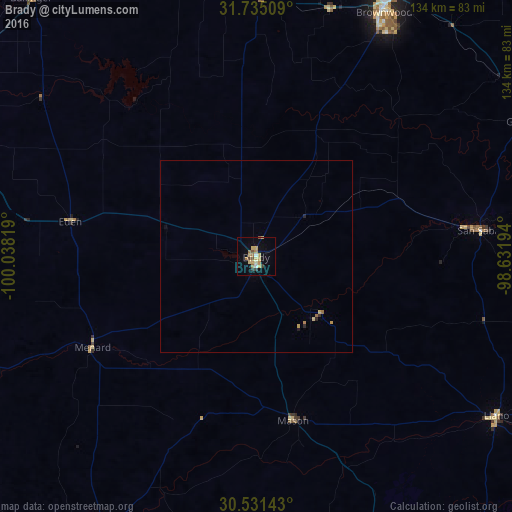
Map coordinates:
31° 44' 6.3" North, 100° 2' 17.5" West
31° 8' 6.6" North, 99° 20' 6.2" West
30° 31' 53.1" North, 98° 37' 55" West
Some cities around Brady sort by population:
• San Angelo
110.9 km =68.9 mi,  289°
289°
• Brownwood
71.7 km =44.6 mi,  27°
27°
• Fredericksburg
105.4 km =65.5 mi,  155°
155°
• Lampasas
110.1 km =68.4 mi,  94°
94°
• Marble Falls
118.6 km =73.7 mi,  121°
121°
• Burnet
113.6 km =70.6 mi,  111°
111°
• Kingsland
100.5 km =62.4 mi, 121°
• Granite Shoals
109.2 km =67.9 mi, 123°
4676032 (p: 5,549)
Sources (retrieved 2019-11-25):
» Earth at Night: Flat Maps 2012, 2016