Snyder night lights from space
Night Light of Snyder (Texas) from space (United States) Src. Average luminocity for 10x10km area is 32.3199% and for 50x50km: 1.9914%.
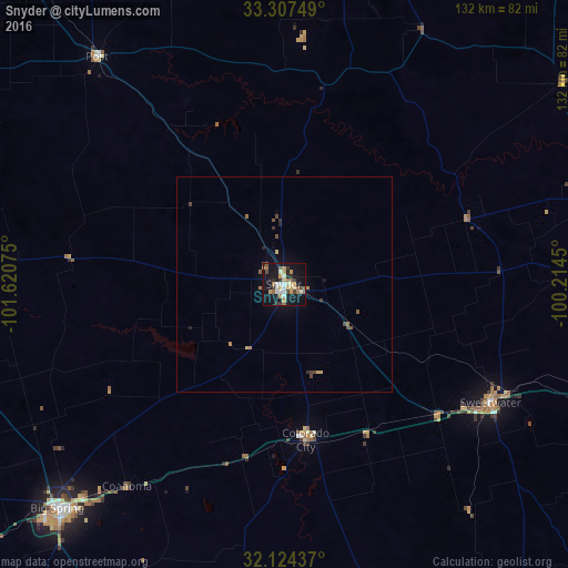
Analysis of Snyder night lights 2016
Square area 10x10 km:
 2.8%
2.8%90-99
4.72%80-89
4.9%70-79
7.34%60-69
3.32%50-59
4.72%40-49
3.67%30-39
4.37%20-29
4.2%10-19
39.16%0-9
20.8%Square area 50x50 km:
0.12%90-99
0.2%80-89
0.27%70-79
0.38%60-69
0.28%50-59
0.29%40-49
0.35%30-39
0.3%20-29
0.3%10-19
1.71%0-9
95.8%Clear (daylight) street map image can be seen on geolist.org.
Map coordinates:
33° 18' 27" North, 101° 37' 14.7" West
32° 43' 4.4" North, 100° 55' 3.4" West
32° 7' 27.7" North, 100° 12' 52.2" West
Some cities around Snyder sort by population:
• Lubbock
129.5 km =80.5 mi,  317°
317°
• Midland
135.3 km =84.1 mi,  233°
233°
• Abilene
114.9 km =71.4 mi,  105°
105°
• Big Spring
74 km =46 mi, 225°
• Sweetwater
55.2 km =34.3 mi,  119°
119°
• Lamesa
96.7 km =60.1 mi,  271°
271°
• Slaton
104.7 km =65.1 mi, 319°
• Post
68 km =42.3 mi, 320°
5530921 (p: 11,768)
Sources (retrieved 2019-11-25):
» Earth at Night: Flat Maps 2012, 2016