Graham night lights from space
Night Light of Graham (Texas) from space (United States) Src. Average luminocity for 10x10km area is 17.7802% and for 50x50km: 1.0685%.
Analysis of Graham night lights 2016
Square area 10x10 km:
 1.1%
1.1%90-99
0.37%80-89
1.1%70-79
3.85%60-69
4.95%50-59
6.59%40-49
1.28%30-39
3.85%20-29
0.37%10-19
5.13%0-9
71.43%Square area 50x50 km:
0.04%90-99
0.01%80-89
0.08%70-79
0.22%60-69
0.25%50-59
0.37%40-49
0.14%30-39
0.31%20-29
0.04%10-19
0.23%0-9
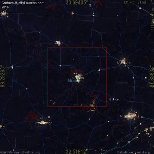
98.31%Clear (daylight) street map image can be seen on geolist.org.
Map coordinates:
33° 41' 38.6" North, 99° 17' 33.5" West
33° 6' 25.4" North, 98° 35' 22.2" West
32° 30' 58" North, 97° 53' 11" West
Some cities around Graham sort by population:
• Wichita Falls
90.1 km =56 mi,  5°
5°
• Weatherford
83.4 km =51.8 mi,  117°
117°
• Mineral Wells
55.5 km =34.5 mi,  126°
126°
• Decatur
94.4 km =58.7 mi,  81°
81°
• Bridgeport
78.5 km =48.8 mi, 81°
• Iowa Park
94.2 km =58.5 mi,  355°
355°
• Breckenridge
48.8 km =30.3 mi,  216°
216°
• Bowie
85.2 km =52.9 mi,  53°
53°
4694420 (p: 8,865)
Sources (retrieved 2019-11-25):
» Earth at Night: Flat Maps 2012, 2016