San Angelo night lights from space
Night Light of San Angelo (Texas) from space (United States) Src. Average luminocity for 10x10km area is 73.6941% and for 50x50km: 6.8637%.
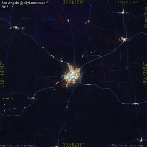
Analysis of San Angelo night lights 2016
Square area 10x10 km:
 18.88%
90-99
17.66%80-89
8.39%70-79
13.99%60-69
15.21%50-59
7.52%40-49
5.59%30-39
5.94%20-29
5.77%10-19
1.05%0-9
0%Square area 50x50 km:
1%90-99
0.92%80-89
0.58%70-79
1.36%60-69
1.49%50-59
0.94%40-49
0.68%30-39
1.02%20-29
1.53%10-19
3.9%0-9
86.58%Clear (daylight) street map image can be seen on geolist.org.
Map coordinates:
32° 3' 41.7" North, 101° 8' 24.6" West
31° 27' 49.6" North, 100° 26' 13.3" West
30° 51' 43.6" North, 99° 44' 2.1" West
Some cities around San Angelo sort by population:
• Midland
166.1 km =103.2 mi,  290°
290°
• Abilene
128.1 km =79.6 mi,  31°
31°
• Odessa
187.6 km =116.6 mi,  283°
283°
• Big Spring
131.6 km =81.8 mi,  311°
311°
• Brownwood
139.6 km =86.7 mi,  78°
78°
• Snyder
146.6 km =91.1 mi,  342°
342°
• Sweetwater
112 km =69.6 mi,  1°
1°
• Brady
110.9 km =68.9 mi,  109°
109°
5530022 (p: 100,450)
Sources (retrieved 2019-11-25):
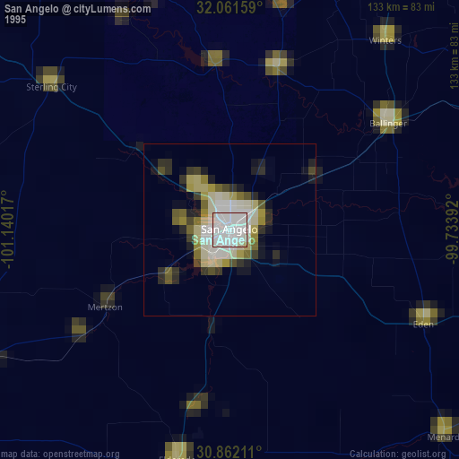
» NASA, Earths city lights 1995
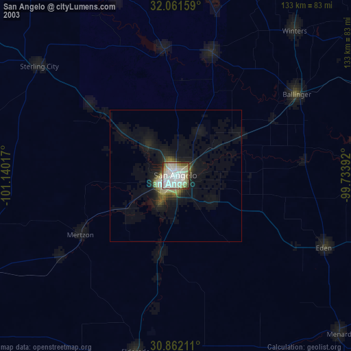
» NASA city lights 2003
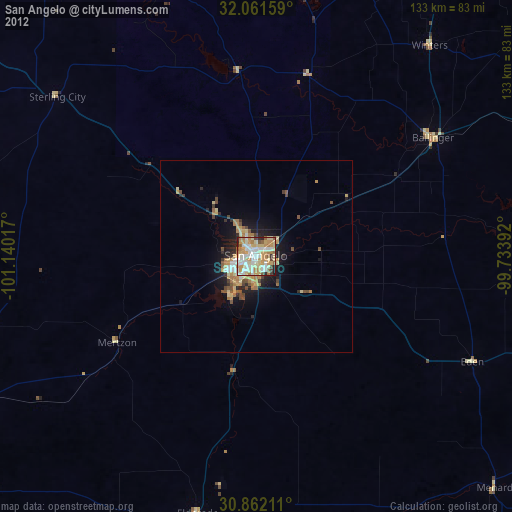
» Earth at Night: Flat Maps 2012, 2016