Aberdeen night lights from space
Night Light of Aberdeen (South Dakota) from space (United States) Src. Average luminocity for 10x10km area is 43.3032% and for 50x50km: 2.221%.
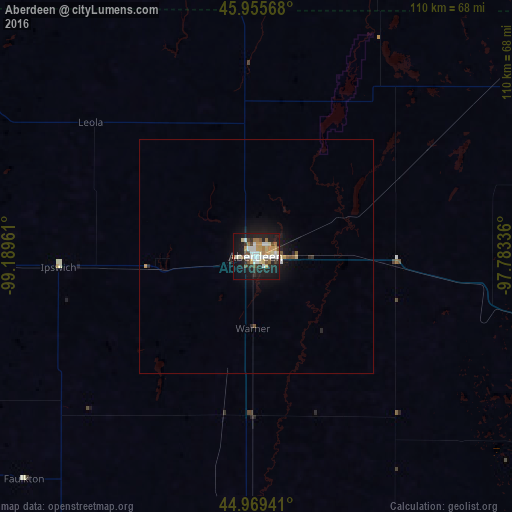
Analysis of Aberdeen night lights 2016
Square area 10x10 km:
 7.3%
7.3%90-99
10.63%80-89
5.08%70-79
6.98%60-69
4.76%50-59
2.7%40-49
4.92%30-39
3.81%20-29
10.32%10-19
34.76%0-9
8.73%Square area 50x50 km:
0.29%90-99
0.42%80-89
0.25%70-79
0.32%60-69
0.18%50-59
0.2%40-49
0.24%30-39
0.17%20-29
0.56%10-19
2.31%0-9
95.07%Clear (daylight) street map image can be seen on geolist.org.
Map coordinates:
45° 57' 20.4" North, 99° 11' 22.6" West
45° 27' 52.9" North, 98° 29' 11.3" West
44° 58' 9.9" North, 97° 47' 0.1" West
Some cities around Aberdeen sort by population:
• Brookings
184.7 km =114.8 mi,  133°
133°
• Watertown
124.5 km =77.4 mi,  120°
120°
• Jamestown
161.7 km =100.5 mi,  353°
353°
• Pierre
190.8 km =118.6 mi,  230°
230°
• Huron
124.3 km =77.2 mi,  170°
170°
• Wahpeton
170.7 km =106.1 mi,  58°
58°
• Madison
195.1 km =121.2 mi,  146°
146°
• Valley City
166.4 km =103.4 mi,  12°
12°
5225857 (p: 28,102)
Sources (retrieved 2019-11-25):
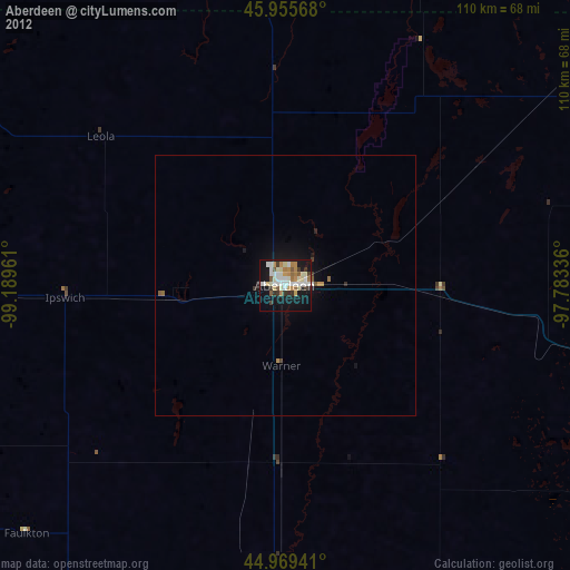
» Earth at Night: Flat Maps 2012, 2016