Watertown night lights from space
Night Light of Watertown (South Dakota) from space (United States) Src. Average luminocity for 10x10km area is 41.7683% and for 50x50km: 2.45%.
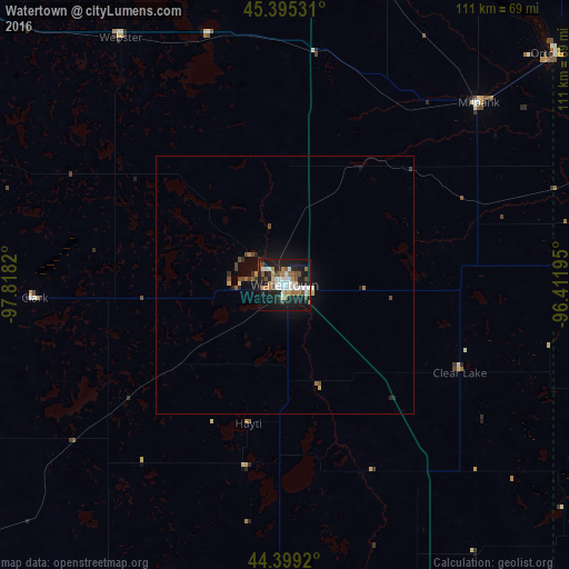
Analysis of Watertown night lights 2016
Square area 10x10 km:
 7.62%
7.62%90-99
10.79%80-89
1.11%70-79
4.76%60-69
6.98%50-59
4.44%40-49
6.67%30-39
1.43%20-29
12.22%10-19
38.73%0-9
5.24%Square area 50x50 km:
0.31%90-99
0.44%80-89
0.1%70-79
0.25%60-69
0.39%50-59
0.24%40-49
0.52%30-39
0.15%20-29
0.71%10-19
2.32%0-9
94.56%Clear (daylight) street map image can be seen on geolist.org.
Map coordinates:
45° 23' 43.1" North, 97° 49' 5.5" West
44° 53' 57.9" North, 97° 6' 54.3" West
44° 23' 57.1" North, 96° 24' 43" West
Some cities around Watertown sort by population:
• Aberdeen
124.5 km =77.4 mi,  300°
300°
• Brookings
70 km =43.5 mi,  159°
159°
• Mitchell
151 km =93.8 mi,  208°
208°
• Marshall
116.3 km =72.3 mi,  115°
115°
• Huron
105.4 km =65.5 mi,  235°
235°
• Madison
99.3 km =61.7 mi,  179°
179°
• Morris
121.1 km =75.2 mi,  50°
50°
• Montevideo
110.2 km =68.5 mi,  87°
87°
5232741 (p: 22,073)
Sources (retrieved 2019-11-25):
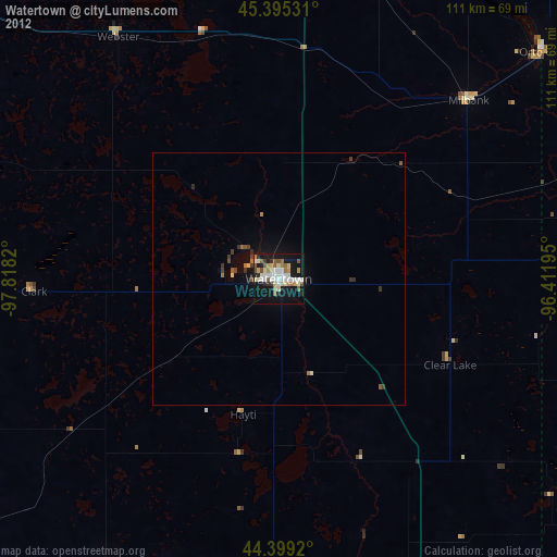
» Earth at Night: Flat Maps 2012, 2016