Brookings night lights from space
Night Light of Brookings (South Dakota) from space (United States) Src. Average luminocity for 10x10km area is 34.4076% and for 50x50km: 1.9414%.
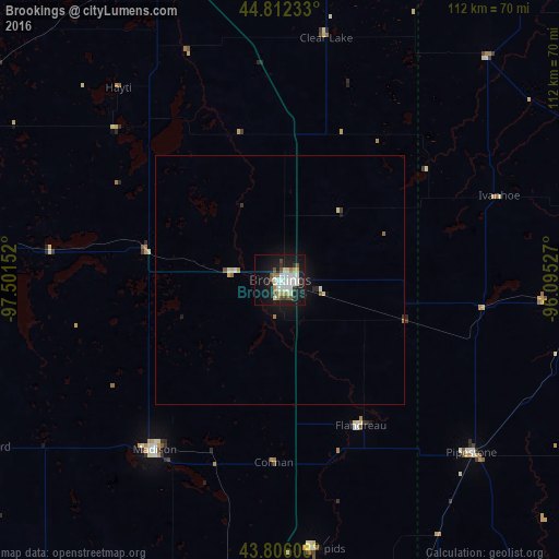
Analysis of Brookings night lights 2016
Square area 10x10 km:
 6.82%
6.82%90-99
10.3%80-89
3.03%70-79
2.58%60-69
2.73%50-59
2.88%40-49
3.33%30-39
2.42%20-29
5.45%10-19
35.91%0-9
24.55%Square area 50x50 km:
0.3%90-99
0.47%80-89
0.21%70-79
0.13%60-69
0.18%50-59
0.17%40-49
0.16%30-39
0.17%20-29
0.28%10-19
1.98%0-9
95.96%Clear (daylight) street map image can be seen on geolist.org.
Map coordinates:
44° 48' 44.4" North, 97° 30' 5.5" West
44° 18' 40.9" North, 96° 47' 54.2" West
43° 48' 21.9" North, 96° 5' 43" West
Some cities around Brookings sort by population:
• Sioux Falls
85 km =52.8 mi,  174°
174°
• Watertown
70 km =43.5 mi,  339°
339°
• Marshall
81.7 km =50.8 mi,  79°
79°
• Huron
112.7 km =70 mi,  272°
272°
• Brandon
81.7 km =50.8 mi, 167°
• Madison
42.3 km =26.3 mi,  216°
216°
• Harrisburg
98.2 km =61 mi,  175°
175°
• Montevideo
111.1 km =69 mi,  50°
50°
5226534 (p: 23,657)
Sources (retrieved 2019-11-25):
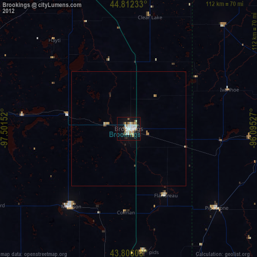
» Earth at Night: Flat Maps 2012, 2016