Huron night lights from space
Night Light of Huron (South Dakota) from space (United States) Src. Average luminocity for 10x10km area is 24.2667% and for 50x50km: 1.139%.
Analysis of Huron night lights 2016
Square area 10x10 km:
 1.75%
1.75%90-99
3.65%80-89
5.24%70-79
1.9%60-69
7.14%50-59
2.22%40-49
1.9%30-39
0.63%20-29
3.17%10-19
22.86%0-9
49.52%Square area 50x50 km:
0.07%90-99
0.19%80-89
0.2%70-79
0.1%60-69
0.29%50-59
0.09%40-49
0.09%30-39
0.03%20-29
0.22%10-19
0.89%0-9
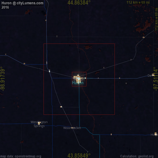
97.84%Clear (daylight) street map image can be seen on geolist.org.
Map coordinates:
44° 51' 49.8" North, 98° 55' 2.6" West
44° 21' 48" North, 98° 12' 51.3" West
43° 51' 30.6" North, 97° 30' 40.1" West
Some cities around Huron sort by population:
• Sioux Falls
151.2 km =94 mi,  126°
126°
• Aberdeen
124.3 km =77.2 mi,  350°
350°
• Brookings
112.7 km =70 mi,  92°
92°
• Watertown
105.4 km =65.5 mi,  55°
55°
• Mitchell
74.2 km =46.1 mi,  168°
168°
• Brandon
156.7 km =97.4 mi,  123°
123°
• Madison
96.3 km =59.8 mi,  114°
114°
• Harrisburg
159.7 km =99.2 mi, 130°
5228673 (p: 13,313)
Sources (retrieved 2019-11-25):
» Earth at Night: Flat Maps 2012, 2016