Madison night lights from space
Night Light of Madison (South Dakota) from space (United States) Src. Average luminocity for 10x10km area is 17.054% and for 50x50km: 0.8274%.
Analysis of Madison night lights 2016
Square area 10x10 km:
 2.06%
2.06%90-99
4.29%80-89
1.75%70-79
3.97%60-69
0%50-59
0.63%40-49
1.27%30-39
2.38%20-29
2.06%10-19
7.62%0-9
73.97%Square area 50x50 km:
0.08%90-99
0.17%80-89
0.07%70-79
0.2%60-69
0.1%50-59
0.05%40-49
0.05%30-39
0.09%20-29
0.1%10-19
0.34%0-9
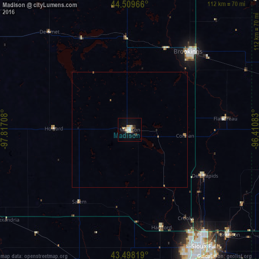
98.75%Clear (daylight) street map image can be seen on geolist.org.
Map coordinates:
44° 30' 34.8" North, 97° 49' 1.5" West
44° 0' 21.9" North, 97° 6' 50.2" West
43° 29' 53.5" North, 96° 24' 39" West
Some cities around Madison sort by population:
• Sioux Falls
60.6 km =37.7 mi,  146°
146°
• Brookings
42.3 km =26.3 mi,  36°
36°
• Watertown
99.3 km =61.7 mi,  359°
359°
• Mitchell
80.5 km =50 mi,  245°
245°
• Marshall
116.4 km =72.3 mi,  65°
65°
• Huron
96.3 km =59.8 mi,  294°
294°
• Brandon
63.1 km =39.2 mi,  136°
136°
• Harrisburg
72.1 km =44.8 mi, 152°
5229526 (p: 7,258)
Sources (retrieved 2019-11-25):
» Earth at Night: Flat Maps 2012, 2016