Zavallya night lights from space
Night Light of Zavallya (Kirovohrad) from space (Ukraine) Src. Average luminocity for 10x10km area is 0.2857% and for 50x50km: 0.136%.
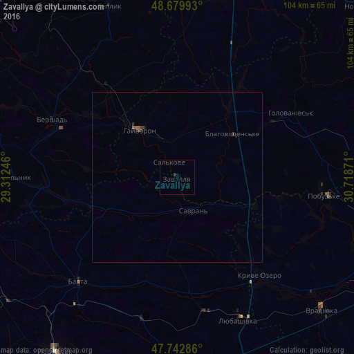
Analysis of Zavallya night lights 2016
Square area 10x10 km:
 0%
0%90-99
0%80-89
0%70-79
0%60-69
0%50-59
0%40-49
0%30-39
0.6%20-29
0%10-19
0%0-9
99.4%Square area 50x50 km:
0%90-99
0%80-89
0%70-79
0%60-69
0.03%50-59
0.06%40-49
0.04%30-39
0.1%20-29
0.05%10-19
0.02%0-9
99.7%Clear (daylight) street map image can be seen on geolist.org.
Map coordinates:
48° 40' 47.7" North, 29° 18' 44.9" East
48° 12' 48.7" North, 30° 0' 56.1" East
47° 44' 34.3" North, 30° 43' 7.4" East
Some cities around Zavallya sort by population:
• Balta
42.7 km =26.5 mi,  223°
223°
• Hayvoron
17.8 km =11.1 mi,  322°
322°
• Lyubashivka
45.6 km =28.3 mi,  156°
156°
• Kryve Ozero
38.2 km =23.7 mi,  139°
139°
• Savran
10.3 km =6.4 mi,  151°
151°
• Teplyk
54.1 km =33.6 mi,  338°
338°
• Pobugskoye
43.1 km =26.8 mi,  97°
97°
• Chechelnyk
48 km =29.8 mi,  270°
270°
687526 (p: 5,010)
Sources (retrieved 2019-11-25):
» Earth at Night: Flat Maps 2012, 2016