Teplyk night lights from space
Night Light of Teplyk (Vinnyts'ka) from space (Ukraine) Src. Average luminocity for 10x10km area is 0.2143% and for 50x50km: 0.1344%.
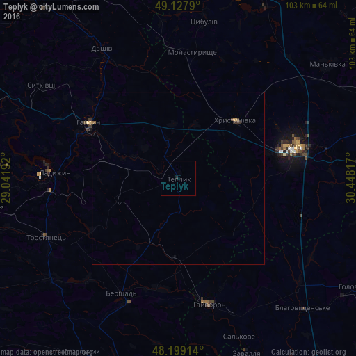
Analysis of Teplyk night lights 2016
Square area 10x10 km:
 0%
0%90-99
0%80-89
0%70-79
0%60-69
0%50-59
0%40-49
0%30-39
0.3%20-29
0.3%10-19
0%0-9
99.4%Square area 50x50 km:
0%90-99
0%80-89
0.02%70-79
0.02%60-69
0.01%50-59
0.05%40-49
0.03%30-39
0.1%20-29
0.03%10-19
0.01%0-9
99.74%Clear (daylight) street map image can be seen on geolist.org.
Map coordinates:
49° 7' 40.4" North, 29° 2' 30.9" East
48° 39' 56.4" North, 29° 44' 42.1" East
48° 11' 56.9" North, 30° 26' 53.4" East
Some cities around Teplyk sort by population:
• Uman
36.2 km =22.5 mi,  75°
75°
• Haisyn
30.7 km =19.1 mi,  301°
301°
• Ladyzhyn
37.4 km =23.2 mi,  273°
273°
• Hayvoron
37.4 km =23.2 mi,  165°
165°
• Khrystynivka
23.8 km =14.8 mi,  45°
45°
• Monastyryshche
36.4 km =22.6 mi,  6°
6°
• Mankivka
54.4 km =33.8 mi, 52°
• Zavallya
54.1 km =33.6 mi,  158°
158°
691708 (p: 6,604)
Sources (retrieved 2019-11-25):
» Earth at Night: Flat Maps 2012, 2016