Balta night lights from space
Night Light of Balta (Odesa) from space (Ukraine) Src. Average luminocity for 10x10km area is 0.669% and for 50x50km: 0.3841%.
Analysis of Balta night lights 2016
Square area 10x10 km:
 0%
0%90-99
0%80-89
0%70-79
0%60-69
0%50-59
0.57%40-49
0%30-39
0.14%20-29
0.85%10-19
0.14%0-9
98.3%Square area 50x50 km:
0.04%90-99
0.05%80-89
0.03%70-79
0.04%60-69
0.02%50-59
0.07%40-49
0.14%30-39
0.08%20-29
0.09%10-19
0.11%0-9
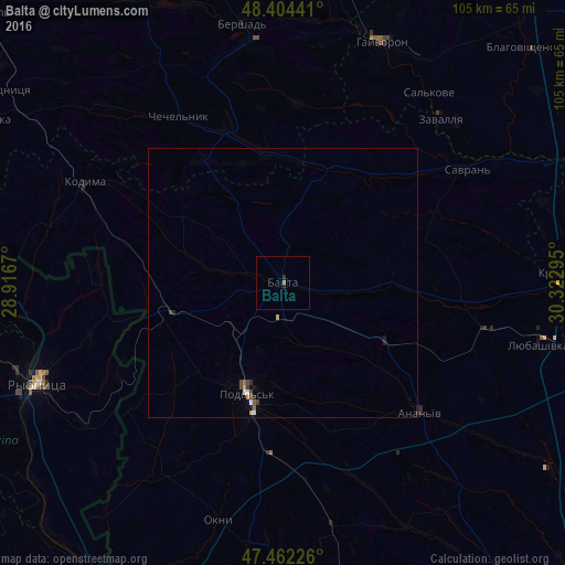
99.34%Clear (daylight) street map image can be seen on geolist.org.
Map coordinates:
48° 24' 15.9" North, 28° 55' 0.1" East
47° 56' 7.7" North, 29° 37' 11.4" East
47° 27' 44.1" North, 30° 19' 22.6" East
Some cities around Balta sort by population:
• Podil’s’k
21.3 km =13.2 mi,  197°
197°
• Hayvoron
48.6 km =30.2 mi,  22°
22°
• Lyubashivka
49 km =30.4 mi,  102°
102°
• Kodyma
41.1 km =25.5 mi,  296°
296°
• Savran
40.8 km =25.4 mi,  57°
57°
• Okny
45.5 km =28.3 mi, 195°
• Chechelnyk
36.3 km =22.6 mi,  328°
328°
• Zavallya
42.7 km =26.5 mi,  43°
43°
712886 (p: 19,220)
Sources (retrieved 2019-11-25):
» Earth at Night: Flat Maps 2012, 2016