Hayvoron night lights from space
Night Light of Hayvoron (Kirovohrad) from space (Ukraine) Src. Average luminocity for 10x10km area is 2.848% and for 50x50km: 0.1512%.
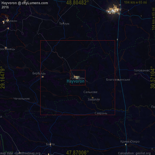
Analysis of Hayvoron night lights 2016
Square area 10x10 km:
 0%
0%90-99
0%80-89
0%70-79
0%60-69
0.85%50-59
1.42%40-49
0.99%30-39
1.28%20-29
1.14%10-19
0.57%0-9
93.75%Square area 50x50 km:
0%90-99
0%80-89
0%70-79
0%60-69
0.03%50-59
0.06%40-49
0.09%30-39
0.07%20-29
0.05%10-19
0.03%0-9
99.67%Clear (daylight) street map image can be seen on geolist.org.
Map coordinates:
48° 48' 17.4" North, 29° 9' 53.2" East
48° 20' 22.5" North, 29° 52' 4.5" East
47° 52' 12.2" North, 30° 34' 15.7" East
Some cities around Hayvoron sort by population:
• Uman
52.4 km =32.6 mi,  29°
29°
• Balta
48.6 km =30.2 mi,  202°
202°
• Khrystynivka
53.6 km =33.3 mi,  8°
8°
• Kryve Ozero
55.9 km =34.7 mi,  140°
140°
• Savran
28 km =17.4 mi,  145°
145°
• Teplyk
37.4 km =23.2 mi,  345°
345°
• Chechelnyk
39.5 km =24.5 mi,  249°
249°
• Zavallya
17.8 km =11.1 mi, 142°
708898 (p: 15,526)
Sources (retrieved 2019-11-25):
» Earth at Night: Flat Maps 2012, 2016