Chechelnyk night lights from space
Night Light of Chechelnyk (Vinnyts'ka) from space (Ukraine) Src. Average luminocity for 10x10km area is 0% and for 50x50km: 0.037%.
Analysis of Chechelnyk night lights 2016
Square area 10x10 km:
 0%
0%90-99
0%80-89
0%70-79
0%60-69
0%50-59
0%40-49
0%30-39
0%20-29
0%10-19
0%0-9
100%Square area 50x50 km:
0%90-99
0%80-89
0%70-79
0%60-69
0%50-59
0%40-49
0.05%30-39
0%20-29
0.03%10-19
0.03%0-9
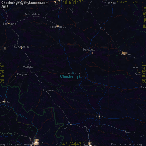
99.88%Clear (daylight) street map image can be seen on geolist.org.
Map coordinates:
48° 40' 53.3" North, 28° 39' 51" East
48° 12' 54.3" North, 29° 22' 2.2" East
47° 44' 39.9" North, 30° 4' 13.5" East
Some cities around Chechelnyk sort by population:
• Podil’s’k
52.8 km =32.8 mi,  166°
166°
• Ladyzhyn
53.1 km =33 mi,  349°
349°
• Balta
36.3 km =22.6 mi,  148°
148°
• Hayvoron
39.5 km =24.5 mi,  69°
69°
• Camenca, MD
53.6 km =33.3 mi,  247°
247°
• Kodyma
22.2 km =13.8 mi,  234°
234°
• Kryzhopil’
41.5 km =25.8 mi,  296°
296°
• Zavallya
48 km =29.8 mi,  90°
90°
710892 (p: 5,100)
Sources (retrieved 2019-11-25):
» Earth at Night: Flat Maps 2012, 2016