Lyubashivka night lights from space
Night Light of Lyubashivka (Odesa) from space (Ukraine) Src. Average luminocity for 10x10km area is 1.6042% and for 50x50km: 0.2073%.
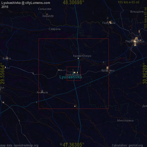
Analysis of Lyubashivka night lights 2016
Square area 10x10 km:
 0%
0%90-99
0%80-89
0%70-79
1.19%60-69
0%50-59
0.6%40-49
0%30-39
0%20-29
0.15%10-19
1.34%0-9
96.73%Square area 50x50 km:
0%90-99
0%80-89
0.01%70-79
0.08%60-69
0%50-59
0.09%40-49
0%30-39
0.05%20-29
0.14%10-19
0.14%0-9
99.49%Clear (daylight) street map image can be seen on geolist.org.
Map coordinates:
48° 18' 25.1" North, 29° 33' 23.9" East
47° 50' 13.8" North, 30° 15' 35.1" East
47° 21' 47" North, 30° 57' 46.4" East
Some cities around Lyubashivka sort by population:
• Pervomays’k
49.7 km =30.9 mi,  62°
62°
• Balta
49 km =30.4 mi,  282°
282°
• Vradiyivka
24.9 km =15.5 mi,  83°
83°
• Kryve Ozero
14.4 km =8.9 mi,  27°
27°
• Shyryayeve
51 km =31.7 mi,  185°
185°
• Savran
35.4 km =22 mi,  338°
338°
• Pobugskoye
44.1 km =27.4 mi, 34°
• Zavallya
45.6 km =28.3 mi, 336°
702898 (p: 9,426)
Sources (retrieved 2019-11-25):
» Earth at Night: Flat Maps 2012, 2016