Kryve Ozero night lights from space
Night Light of Kryve Ozero (Mykolaiv) from space (Ukraine) Src. Average luminocity for 10x10km area is 0.5455% and for 50x50km: 0.231%.
Analysis of Kryve Ozero night lights 2016
Square area 10x10 km:
 0%
0%90-99
0%80-89
0%70-79
0.57%60-69
0%50-59
0%40-49
0%30-39
0%20-29
0%10-19
0.57%0-9
98.86%Square area 50x50 km:
0%90-99
0%80-89
0%70-79
0.07%60-69
0.01%50-59
0.13%40-49
0.02%30-39
0.06%20-29
0.15%10-19
0.1%0-9
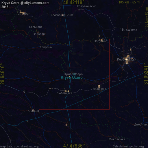
99.46%Clear (daylight) street map image can be seen on geolist.org.
Map coordinates:
48° 25' 16.3" North, 29° 38' 46.2" East
47° 57' 8.7" North, 30° 20' 57.4" East
47° 28' 45.7" North, 31° 3' 8.7" East
Some cities around Kryve Ozero sort by population:
• Pervomays’k
38.7 km =24 mi,  74°
74°
• Balta
54.4 km =33.8 mi,  268°
268°
• Hayvoron
55.9 km =34.7 mi,  320°
320°
• Vradiyivka
20.7 km =12.9 mi,  119°
119°
• Lyubashivka
14.4 km =8.9 mi,  207°
207°
• Savran
28.2 km =17.5 mi, 315°
• Pobugskoye
29.8 km =18.5 mi,  37°
37°
• Zavallya
38.2 km =23.7 mi, 319°
704010 (p: 8,258)
Sources (retrieved 2019-11-25):
» Earth at Night: Flat Maps 2012, 2016