Savran night lights from space
Night Light of Savran (Odesa) from space (Ukraine) Src. Average luminocity for 10x10km area is 0% and for 50x50km: 0.1547%.
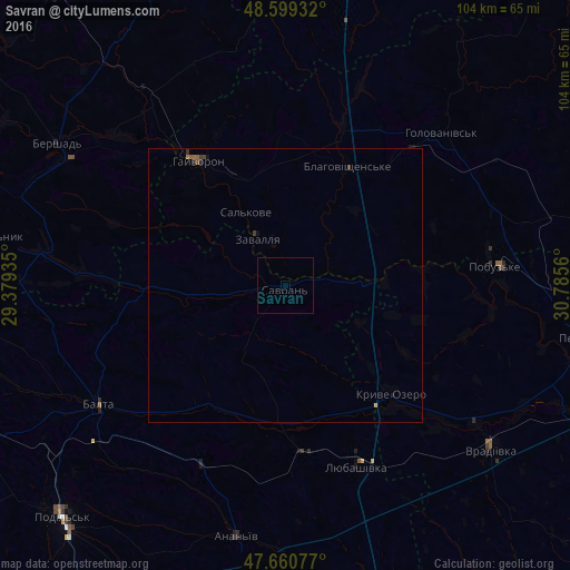
Analysis of Savran night lights 2016
Square area 10x10 km:
 0%
0%90-99
0%80-89
0%70-79
0%60-69
0%50-59
0%40-49
0%30-39
0%20-29
0%10-19
0%0-9
100%Square area 50x50 km:
0%90-99
0%80-89
0%70-79
0.02%60-69
0.03%50-59
0.06%40-49
0.04%30-39
0.1%20-29
0.05%10-19
0.05%0-9
99.65%Clear (daylight) street map image can be seen on geolist.org.
Map coordinates:
48° 35' 57.6" North, 29° 22' 45.7" East
48° 7' 55.9" North, 30° 4' 56.9" East
47° 39' 38.8" North, 30° 47' 8.2" East
Some cities around Savran sort by population:
• Balta
40.8 km =25.4 mi,  237°
237°
• Hayvoron
28 km =17.4 mi,  325°
325°
• Vradiyivka
48.4 km =30.1 mi,  128°
128°
• Lyubashivka
35.4 km =22 mi,  158°
158°
• Kryve Ozero
28.2 km =17.5 mi,  135°
135°
• Pobugskoye
38 km =23.6 mi,  84°
84°
• Chechelnyk
53.8 km =33.4 mi,  279°
279°
• Zavallya
10.3 km =6.4 mi, 331°
694745 (p: 7,000)
Sources (retrieved 2019-11-25):
» Earth at Night: Flat Maps 2012, 2016