Pobugskoye night lights from space
Night Light of Pobugskoye (Kirovohrad) from space (Ukraine) Src. Average luminocity for 10x10km area is 1.7961% and for 50x50km: 0.5187%.
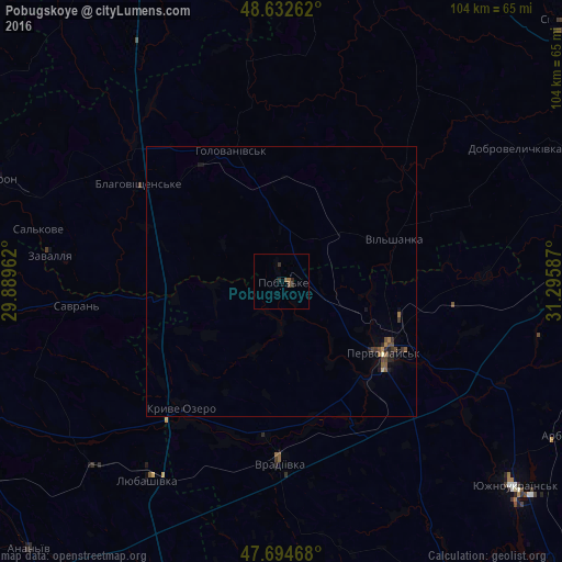
Analysis of Pobugskoye night lights 2016
Square area 10x10 km:
 0%
0%90-99
0%80-89
0%70-79
0%60-69
0.3%50-59
1.04%40-49
0.45%30-39
0.74%20-29
1.64%10-19
0%0-9
95.83%Square area 50x50 km:
0%90-99
0.02%80-89
0.02%70-79
0.02%60-69
0.09%50-59
0.17%40-49
0.2%30-39
0.14%20-29
0.19%10-19
0.22%0-9
98.92%Clear (daylight) street map image can be seen on geolist.org.
Map coordinates:
48° 37' 57.4" North, 29° 53' 22.6" East
48° 9' 56.8" North, 30° 35' 33.9" East
47° 41' 40.8" North, 31° 17' 45.1" East
Some cities around Pobugskoye sort by population:
• Pervomays’k
23.4 km =14.5 mi,  125°
125°
• Hayvoron
57 km =35.4 mi,  289°
289°
• Vradiyivka
33.8 km =21 mi,  180°
180°
• Lyubashivka
44.1 km =27.4 mi,  214°
214°
• Kryve Ozero
29.8 km =18.5 mi,  217°
217°
• Novoarkhanhel’s’k
57.2 km =35.5 mi,  16°
16°
• Savran
38 km =23.6 mi,  264°
264°
• Zavallya
43.1 km =26.8 mi,  277°
277°
697018 (p: 5,716)
Sources (retrieved 2019-11-25):
» Earth at Night: Flat Maps 2012, 2016