Tokmak night lights from space
Night Light of Tokmak (Zaporizhia) from space (Ukraine) Src. Average luminocity for 10x10km area is 1.3899% and for 50x50km: 0.072%.
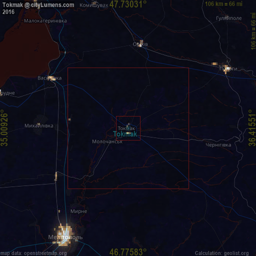
Analysis of Tokmak night lights 2016
Square area 10x10 km:
 0%
0%90-99
0%80-89
0%70-79
0%60-69
0.6%50-59
0%40-49
0.6%30-39
1.79%20-29
0%10-19
0%0-9
97.02%Square area 50x50 km:
0%90-99
0%80-89
0%70-79
0%60-69
0.02%50-59
0%40-49
0.05%30-39
0.07%20-29
0.02%10-19
0%0-9
99.84%Clear (daylight) street map image can be seen on geolist.org.
Map coordinates:
47° 43' 49.1" North, 35° 0' 33.3" East
47° 15' 18.8" North, 35° 42' 44.6" East
46° 46' 33" North, 36° 24' 55.8" East
Some cities around Tokmak sort by population:
• Melitopol
52.3 km =32.5 mi,  210°
210°
• Polohy
48.1 km =29.9 mi,  57°
57°
• Dniprorudne
57.2 km =35.5 mi,  284°
284°
• Orikhiv
35.1 km =21.8 mi,  9°
9°
• Vasylivka
38.7 km =24 mi,  301°
301°
• Mykhaylivka
37 km =23 mi,  272°
272°
• Kostyantynivka
53.5 km =33.2 mi,  204°
204°
• Komyshuvakha
53 km =32.9 mi,  345°
345°
691469 (p: 34,926)
Sources (retrieved 2019-11-25):
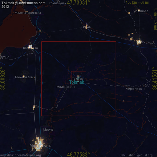
» Earth at Night: Flat Maps 2012, 2016