Kostyantynivka night lights from space
Night Light of Kostyantynivka (Zaporizhia) from space (Ukraine) Src. Average luminocity for 10x10km area is 16.2574% and for 50x50km: 2.1501%.
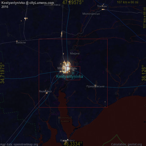
Analysis of Kostyantynivka night lights 2016
Square area 10x10 km:
 4.91%
4.91%90-99
2.23%80-89
0.6%70-79
2.23%60-69
1.34%50-59
1.04%40-49
1.79%30-39
2.38%20-29
2.23%10-19
16.37%0-9
64.88%Square area 50x50 km:
0.34%90-99
0.3%80-89
0.09%70-79
0.37%60-69
0.42%50-59
0.26%40-49
0.21%30-39
0.25%20-29
0.3%10-19
2.21%0-9
95.25%Clear (daylight) street map image can be seen on geolist.org.
Map coordinates:
47° 17' 44.7" North, 34° 43' 11.1" East
46° 49' 0.2" North, 35° 25' 22.3" East
46° 20' 0.2" North, 36° 7' 33.6" East
Some cities around Kostyantynivka sort by population:
• Melitopol
5.7 km =3.5 mi,  309°
309°
• Tokmak
53.5 km =33.2 mi,  24°
24°
• Vasylivka
69.9 km =43.4 mi,  350°
350°
• Mykhaylivka
52.9 km =32.9 mi,  343°
343°
• Yakymivka
23.9 km =14.9 mi,  237°
237°
• Vesele
44.4 km =27.6 mi,  299°
299°
• Mala Bilozerka
60.5 km =37.6 mi,  322°
322°
• Ivanivka
67.1 km =41.7 mi,  260°
260°
705115 (p: 11,540)
Sources (retrieved 2019-11-25):
» Earth at Night: Flat Maps 2012, 2016