Melitopol night lights from space
Night Light of Melitopol (Zaporizhia) from space (Ukraine) Src. Average luminocity for 10x10km area is 43.6339% and for 50x50km: 2.1351%.
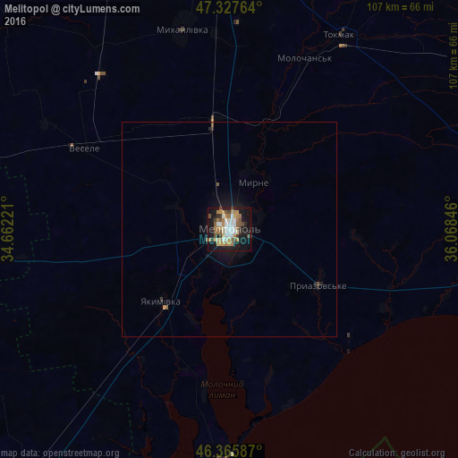
Analysis of Melitopol night lights 2016
Square area 10x10 km:
 8.63%
8.63%90-99
7.44%80-89
2.23%70-79
8.78%60-69
9.97%50-59
5.06%40-49
4.61%30-39
4.91%20-29
5.21%10-19
32.89%0-9
10.27%Square area 50x50 km:
0.34%90-99
0.29%80-89
0.09%70-79
0.38%60-69
0.41%50-59
0.26%40-49
0.23%30-39
0.24%20-29
0.33%10-19
2.16%0-9
95.29%Clear (daylight) street map image can be seen on geolist.org.
Map coordinates:
47° 19' 39.5" North, 34° 39' 44" East
46° 50' 56.1" North, 35° 21' 55.2" East
46° 21' 57.1" North, 36° 4' 6.5" East
Some cities around Melitopol sort by population:
• Tokmak
52.3 km =32.5 mi,  30°
30°
• Vasylivka
65.7 km =40.8 mi,  353°
353°
• Mykhaylivka
48.3 km =30 mi, 347°
• Yakymivka
22.8 km =14.2 mi,  223°
223°
• Kostyantynivka
5.7 km =3.5 mi,  129°
129°
• Vesele
38.8 km =24.1 mi,  298°
298°
• Mala Bilozerka
55 km =34.2 mi,  323°
323°
• Ivanivka
63.5 km =39.5 mi,  257°
257°
701404 (p: 158,000)
Sources (retrieved 2019-11-25):
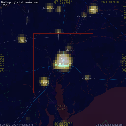
» NASA, Earths city lights 1995
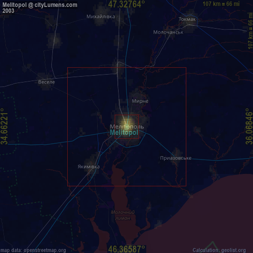
» NASA city lights 2003
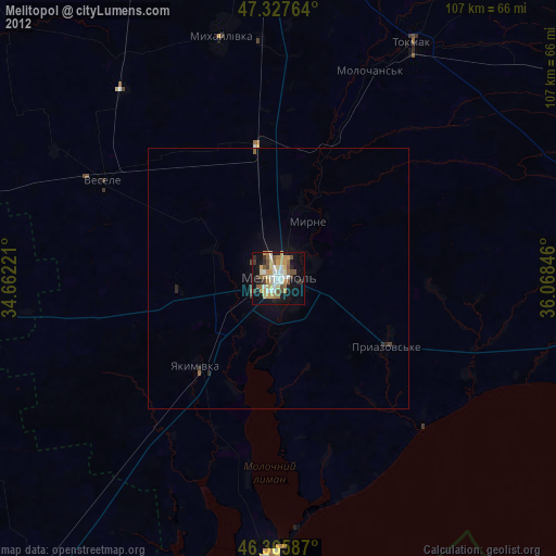
» Earth at Night: Flat Maps 2012, 2016