Dniprorudne night lights from space
Night Light of Dniprorudne (Zaporizhia) from space (Ukraine) Src. Average luminocity for 10x10km area is 3.5491% and for 50x50km: 0.8158%.
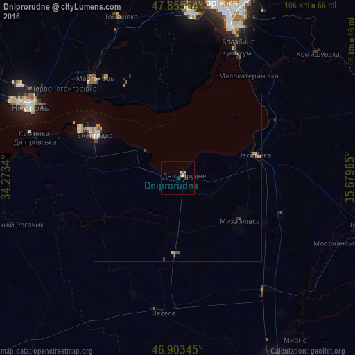
Analysis of Dniprorudne night lights 2016
Square area 10x10 km:
 0%
0%90-99
1.79%80-89
0%70-79
0%60-69
0%50-59
0.89%40-49
0.89%30-39
0.15%20-29
1.34%10-19
0.3%0-9
94.64%Square area 50x50 km:
0.12%90-99
0.16%80-89
0.05%70-79
0.17%60-69
0.01%50-59
0.07%40-49
0.24%30-39
0.11%20-29
0.07%10-19
0.29%0-9
98.72%Clear (daylight) street map image can be seen on geolist.org.
Map coordinates:
47° 51' 20.3" North, 34° 16' 24.2" East
47° 22' 54.1" North, 34° 58' 35.5" East
46° 54' 12.4" North, 35° 40' 46.7" East
Some cities around Dniprorudne sort by population:
• Energodar
27.3 km =17 mi,  298°
298°
• Marhanets’
38.5 km =23.9 mi,  317°
317°
• Vasylivka
23.2 km =14.4 mi,  74°
74°
• Mykhaylivka
22.2 km =13.8 mi,  123°
123°
• Mala Bilozerka
15.3 km =9.5 mi,  191°
191°
• Balky
2.5 km =1.6 mi,  274°
274°
• Vodyane
38.3 km =23.8 mi,  287°
287°
• Vil’ne
30.8 km =19.1 mi,  336°
336°
709960 (p: 20,271)
Sources (retrieved 2019-11-25):
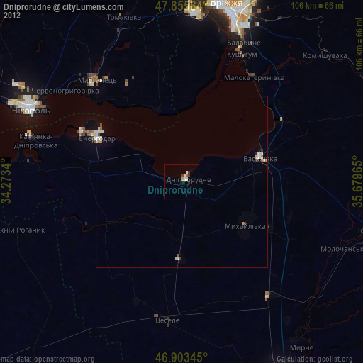
» Earth at Night: Flat Maps 2012, 2016