Vasylivka night lights from space
Night Light of Vasylivka (Zaporizhia) from space (Ukraine) Src. Average luminocity for 10x10km area is 3.1136% and for 50x50km: 0.3123%.
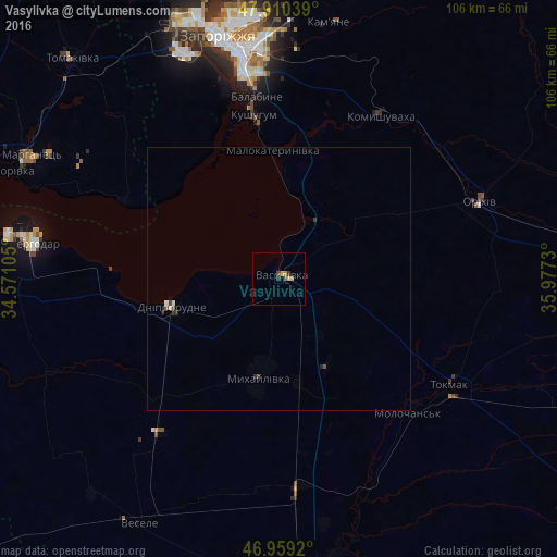
Analysis of Vasylivka night lights 2016
Square area 10x10 km:
 0%
0%90-99
0%80-89
0.57%70-79
1.56%60-69
0.14%50-59
0.57%40-49
0.57%30-39
1.14%20-29
0%10-19
0%0-9
95.45%Square area 50x50 km:
0%90-99
0.07%80-89
0.02%70-79
0.06%60-69
0.01%50-59
0.06%40-49
0.09%30-39
0.09%20-29
0.1%10-19
0.01%0-9
99.49%Clear (daylight) street map image can be seen on geolist.org.
Map coordinates:
47° 54' 37.4" North, 34° 34' 15.8" East
47° 26' 13" North, 35° 16' 27" East
46° 57' 33.1" North, 35° 58' 38.3" East
Some cities around Vasylivka sort by population:
• Tokmak
38.7 km =24 mi,  121°
121°
• Dniprorudne
23.2 km =14.4 mi,  254°
254°
• Orikhiv
41.1 km =25.5 mi,  69°
69°
• Mykhaylivka
18.7 km =11.6 mi,  192°
192°
• Kushuhum
31.1 km =19.3 mi,  350°
350°
• Mala Bilozerka
33.2 km =20.6 mi,  230°
230°
• Balky
25.6 km =15.9 mi,  256°
256°
• Komyshuvakha
36.5 km =22.7 mi,  31°
31°
686729 (p: 15,012)
Sources (retrieved 2019-11-25):
» Earth at Night: Flat Maps 2012, 2016