Polohy night lights from space
Night Light of Polohy (Zaporizhia) from space (Ukraine) Src. Average luminocity for 10x10km area is 6.5753% and for 50x50km: 0.3062%.
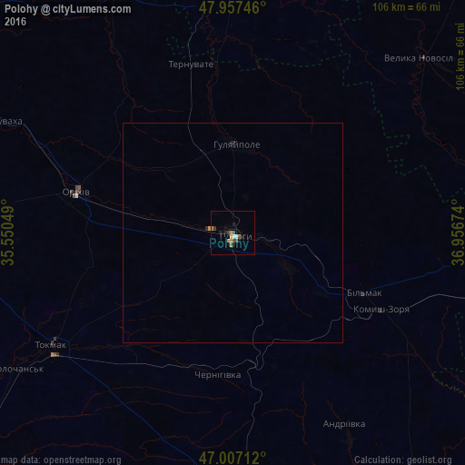
Analysis of Polohy night lights 2016
Square area 10x10 km:
 0.43%
0.43%90-99
0.71%80-89
0.14%70-79
1.28%60-69
1.99%50-59
0%40-49
2.27%30-39
1.14%20-29
1.56%10-19
0.99%0-9
89.49%Square area 50x50 km:
0.02%90-99
0.03%80-89
0.01%70-79
0.08%60-69
0.08%50-59
0%40-49
0.09%30-39
0.05%20-29
0.11%10-19
0.06%0-9
99.48%Clear (daylight) street map image can be seen on geolist.org.
Map coordinates:
47° 57' 26.9" North, 35° 33' 1.8" East
47° 29' 4" North, 36° 15' 13" East
47° 0' 25.6" North, 36° 57' 24.3" East
Some cities around Polohy sort by population:
• Tokmak
48.1 km =29.9 mi,  237°
237°
• Orikhiv
36.3 km =22.6 mi,  284°
284°
• Hulyaypole
20 km =12.4 mi,  0°
0°
• Vasylivka
73.8 km =45.9 mi,  265°
265°
• Mykhaylivka
81.1 km =50.4 mi,  253°
253°
• Kuybysheve
32.9 km =20.4 mi,  115°
115°
• Novomykolayivka
60.6 km =37.7 mi,  334°
334°
• Komyshuvakha
60.1 km =37.3 mi,  295°
295°
696677 (p: 21,380)
Sources (retrieved 2019-11-25):
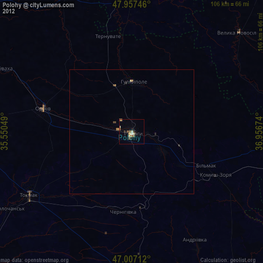
» Earth at Night: Flat Maps 2012, 2016