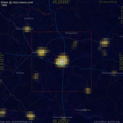
Uman night lights from space
Night Light of Uman (Cherkasy) from space (Ukraine) Src. Average luminocity for 10x10km area is 26.3423% and for 50x50km: 1.3132%.
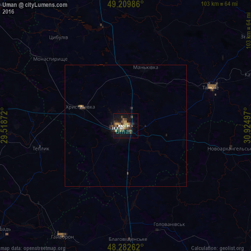
Analysis of Uman night lights 2016
Square area 10x10 km:
 2.83%
2.83%90-99
2.83%80-89
1.93%70-79
4.46%60-69
3.87%50-59
2.98%40-49
7.89%30-39
3.42%20-29
9.52%10-19
24.7%0-9
35.57%Square area 50x50 km:
0.11%90-99
0.13%80-89
0.09%70-79
0.19%60-69
0.17%50-59
0.11%40-49
0.37%30-39
0.25%20-29
0.5%10-19
1.05%0-9
97.03%Clear (daylight) street map image can be seen on geolist.org.
Map coordinates:
49° 12' 35.5" North, 29° 31' 7.4" East
48° 44' 54.2" North, 30° 13' 18.6" East
48° 16' 57.4" North, 30° 55' 29.9" East
Some cities around Uman sort by population:
• Talne
38 km =23.6 mi,  65°
65°
• Hayvoron
52.4 km =32.6 mi,  209°
209°
• Zhashkiv
55.9 km =34.7 mi,  351°
351°
• Khrystynivka
19.4 km =12.1 mi,  292°
292°
• Monastyryshche
40.7 km =25.3 mi,  311°
311°
• Mankivka
25.3 km =15.7 mi,  18°
18°
• Novoarkhanhel’s’k
44.9 km =27.9 mi,  102°
102°
• Teplyk
36.2 km =22.5 mi,  255°
255°
690688 (p: 87,658)
Sources (retrieved 2019-11-25):
» NASA, Earths city lights 1995
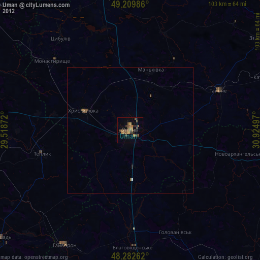
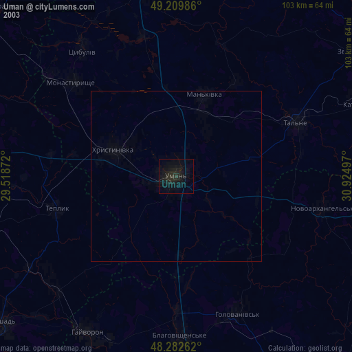
» NASA city lights 2003
» Earth at Night: Flat Maps 2012, 2016