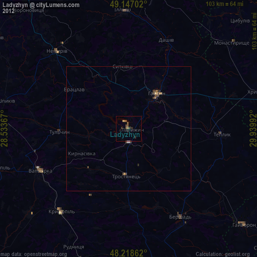
Ladyzhyn night lights from space
Night Light of Ladyzhyn (Vinnyts'ka) from space (Ukraine) Src. Average luminocity for 10x10km area is 3.7634% and for 50x50km: 0.3796%.
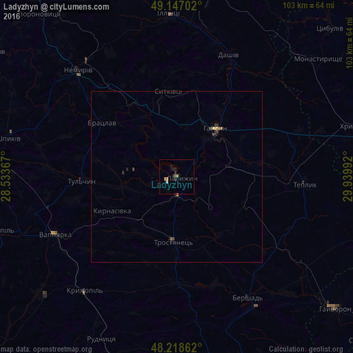
Analysis of Ladyzhyn night lights 2016
Square area 10x10 km:
 0.45%
0.45%90-99
0.15%80-89
0%70-79
1.34%60-69
0.45%50-59
0.6%40-49
0%30-39
1.19%20-29
1.34%10-19
1.49%0-9
93.01%Square area 50x50 km:
0.02%90-99
0.01%80-89
0.03%70-79
0.11%60-69
0.02%50-59
0.09%40-49
0.08%30-39
0.16%20-29
0.12%10-19
0.12%0-9
99.24%Clear (daylight) street map image can be seen on geolist.org.
Map coordinates:
49° 8' 49.3" North, 28° 32' 1.2" East
48° 41' 5.9" North, 29° 14' 12.4" East
48° 13' 7" North, 29° 56' 23.7" East
Some cities around Ladyzhyn sort by population:
• Haisyn
18 km =11.2 mi,  38°
38°
• Tulchyn
28.7 km =17.8 mi,  267°
267°
• Nemyriv
43.2 km =26.8 mi,  317°
317°
• Illintsi
46.7 km =29 mi,  358°
358°
• Kryzhopil’
43.3 km =26.9 mi,  219°
219°
• Vapnyarka
39.9 km =24.8 mi,  245°
245°
• Teplyk
37.4 km =23.2 mi,  93°
93°
• Bratslav
26.6 km =16.5 mi,  305°
305°
703428 (p: 21,393)
Sources (retrieved 2019-11-25):
» Earth at Night: Flat Maps 2012, 2016