Monastyryshche night lights from space
Night Light of Monastyryshche (Cherkasy) from space (Ukraine) Src. Average luminocity for 10x10km area is 0% and for 50x50km: 0.1087%.
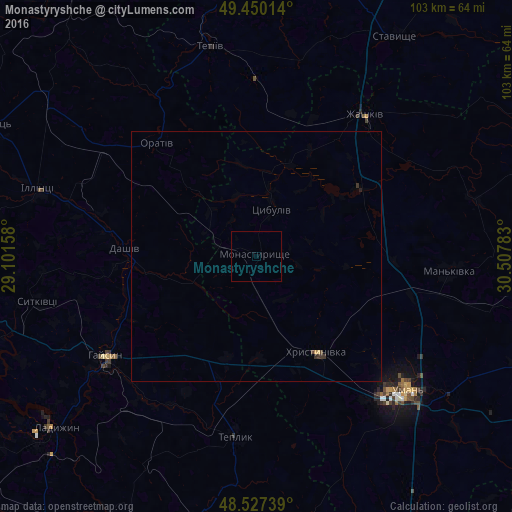
Analysis of Monastyryshche night lights 2016
Square area 10x10 km:
 0%
0%90-99
0%80-89
0%70-79
0%60-69
0%50-59
0%40-49
0%30-39
0%20-29
0%10-19
0%0-9
100%Square area 50x50 km:
0%90-99
0%80-89
0.02%70-79
0.02%60-69
0.01%50-59
0%40-49
0.03%30-39
0.11%20-29
0.02%10-19
0.02%0-9
99.77%Clear (daylight) street map image can be seen on geolist.org.
Map coordinates:
49° 27' 0.5" North, 29° 6' 5.7" East
48° 59' 27.2" North, 29° 48' 16.9" East
48° 31' 38.6" North, 30° 30' 28.2" East
Some cities around Monastyryshche sort by population:
• Uman
40.7 km =25.3 mi,  131°
131°
• Haisyn
36.3 km =22.6 mi,  236°
236°
• Zhashkiv
36 km =22.4 mi,  38°
38°
• Tetiiv
44.1 km =27.4 mi,  346°
346°
• Khrystynivka
23.2 km =14.4 mi,  147°
147°
• Illintsi
44.6 km =27.7 mi,  286°
286°
• Mankivka
38.7 km =24 mi,  94°
94°
• Teplyk
36.4 km =22.6 mi,  186°
186°
700796 (p: 9,111)
Sources (retrieved 2019-11-25):
» Earth at Night: Flat Maps 2012, 2016