Haisyn night lights from space
Night Light of Haisyn (Vinnyts'ka) from space (Ukraine) Src. Average luminocity for 10x10km area is 4.0028% and for 50x50km: 0.3426%.
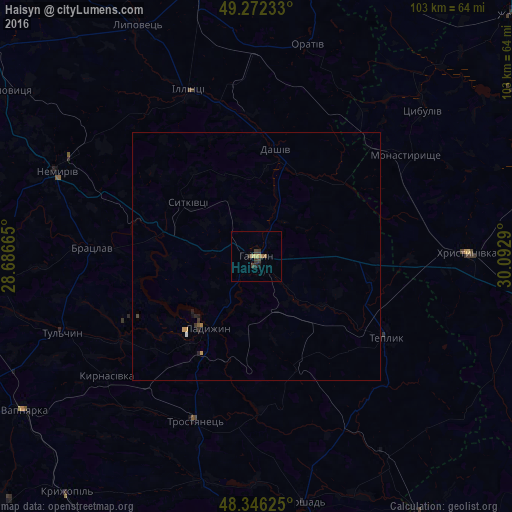
Analysis of Haisyn night lights 2016
Square area 10x10 km:
 0%
0%90-99
0%80-89
0.85%70-79
0.85%60-69
0%50-59
1.14%40-49
0.99%30-39
2.41%20-29
0.57%10-19
0.57%0-9
92.61%Square area 50x50 km:
0.02%90-99
0.01%80-89
0.03%70-79
0.11%60-69
0.02%50-59
0.07%40-49
0.06%30-39
0.14%20-29
0.1%10-19
0.08%0-9
99.37%Clear (daylight) street map image can be seen on geolist.org.
Map coordinates:
49° 16' 20.4" North, 28° 41' 11.9" East
48° 48' 41.1" North, 29° 23' 23.2" East
48° 20' 46.5" North, 30° 5' 34.4" East
Some cities around Haisyn sort by population:
• Ladyzhyn
18 km =11.2 mi,  218°
218°
• Tulchyn
42.7 km =26.5 mi,  249°
249°
• Khrystynivka
43 km =26.7 mi,  89°
89°
• Nemyriv
44.1 km =27.4 mi,  293°
293°
• Illintsi
35 km =21.7 mi,  338°
338°
• Monastyryshche
36.3 km =22.6 mi,  56°
56°
• Teplyk
30.7 km =19.1 mi,  121°
121°
• Bratslav
32.9 km =20.4 mi,  272°
272°
708901 (p: 24,687)
Sources (retrieved 2019-11-25):
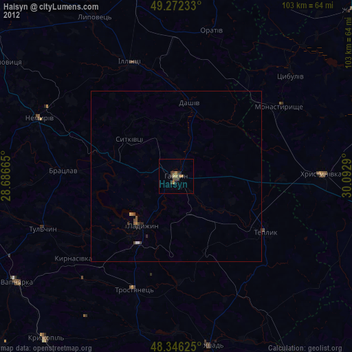
» Earth at Night: Flat Maps 2012, 2016