Mankivka night lights from space
Night Light of Mankivka (Cherkasy) from space (Ukraine) Src. Average luminocity for 10x10km area is 0% and for 50x50km: 0.7549%.
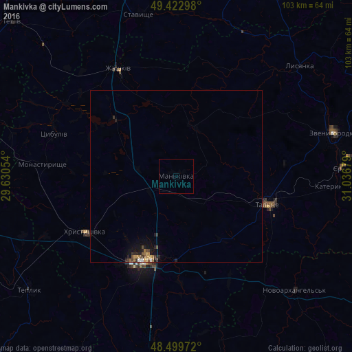
Analysis of Mankivka night lights 2016
Square area 10x10 km:
 0%
0%90-99
0%80-89
0%70-79
0%60-69
0%50-59
0%40-49
0%30-39
0%20-29
0%10-19
0%0-9
100%Square area 50x50 km:
0.06%90-99
0.03%80-89
0.06%70-79
0.15%60-69
0.15%50-59
0.09%40-49
0.16%30-39
0.16%20-29
0.27%10-19
0.58%0-9
98.3%Clear (daylight) street map image can be seen on geolist.org.
Map coordinates:
49° 25' 22.7" North, 29° 37' 49.9" East
48° 57' 48.6" North, 30° 20' 1.2" East
48° 29' 59" North, 31° 2' 12.4" East
Some cities around Mankivka sort by population:
• Uman
25.3 km =15.7 mi,  198°
198°
• Zvenihorodka
48 km =29.8 mi,  74°
74°
• Talne
27.7 km =17.2 mi,  107°
107°
• Zhashkiv
35.3 km =21.9 mi,  332°
332°
• Khrystynivka
30.8 km =19.1 mi,  237°
237°
• Monastyryshche
38.7 km =24 mi,  274°
274°
• Lysianka
48.3 km =30 mi,  48°
48°
• Novoarkhanhel’s’k
49.1 km =30.5 mi,  133°
133°
701894 (p: 8,596)
Sources (retrieved 2019-11-25):
» Earth at Night: Flat Maps 2012, 2016