Smila night lights from space
Night Light of Smila (Cherkasy) from space (Ukraine) Src. Average luminocity for 10x10km area is 12.0854% and for 50x50km: 2.251%.
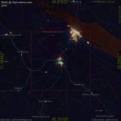
Analysis of Smila night lights 2016
Square area 10x10 km:
 0.41%
0.41%90-99
1.24%80-89
0.55%70-79
0.41%60-69
1.24%50-59
5.51%40-49
5.23%30-39
3.03%20-29
0%10-19
3.17%0-9
79.2%Square area 50x50 km:
0.15%90-99
0.22%80-89
0.2%70-79
0.36%60-69
0.53%50-59
0.56%40-49
0.51%30-39
0.26%20-29
0.28%10-19
1.27%0-9
95.66%Clear (daylight) street map image can be seen on geolist.org.
Map coordinates:
49° 40' 46.3" North, 31° 11' 2.5" East
49° 13' 20.7" North, 31° 53' 13.7" East
48° 45' 39.8" North, 32° 35' 25" East
Some cities around Smila sort by population:
• Cherkasy
26.2 km =16.3 mi,  28°
28°
• Korsun-Shevchenkivskyi
50.5 km =31.4 mi,  295°
295°
• Shpola
43.1 km =26.8 mi,  236°
236°
• Horodyshche
32.8 km =20.4 mi,  282°
282°
• Kamianka
26.4 km =16.4 mi,  143°
143°
• Oleksandrivka
38.4 km =23.9 mi, 138°
• Chervona Sloboda
25.8 km =16 mi,  49°
49°
• Ruska Poliana
21.8 km =13.5 mi,  6°
6°
693457 (p: 67,530)
Sources (retrieved 2019-11-25):
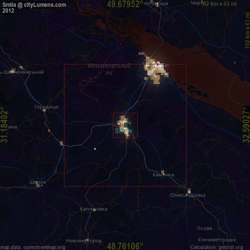
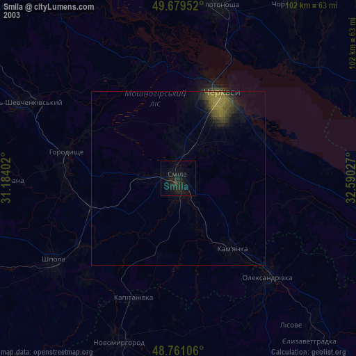
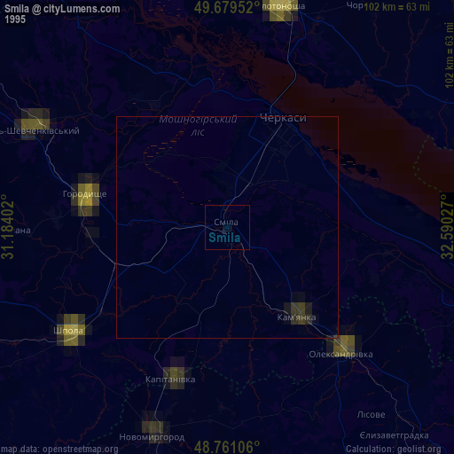
» NASA, Earths city lights 1995
» NASA city lights 2003
» Earth at Night: Flat Maps 2012, 2016