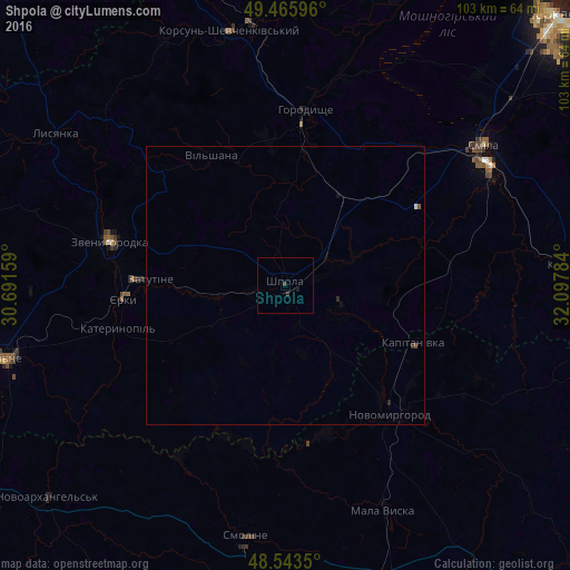
Shpola night lights from space
Night Light of Shpola (Cherkasy) from space (Ukraine) Src. Average luminocity for 10x10km area is 0.5729% and for 50x50km: 0.0976%.
Analysis of Shpola night lights 2016
Square area 10x10 km:
 0%
0%90-99
0%80-89
0%70-79
0%60-69
0%50-59
0%40-49
0.43%30-39
0.43%20-29
0.29%10-19
0.58%0-9
98.27%Square area 50x50 km:
0.02%90-99
0.01%80-89
0%70-79
0%60-69
0%50-59
0.02%40-49
0.04%30-39
0.04%20-29
0.06%10-19
0.06%0-9
99.76%Clear (daylight) street map image can be seen on geolist.org.
Map coordinates:
49° 27' 57.5" North, 30° 41' 29.7" East
49° 0' 24.7" North, 31° 23' 41" East
48° 32' 36.6" North, 32° 5' 52.2" East
Some cities around Shpola sort by population:
• Smila
43.1 km =26.8 mi,  56°
56°
• Vatutine
24.3 km =15.1 mi,  272°
272°
• Zvenihorodka
32.1 km =19.9 mi,  284°
284°
• Korsun-Shevchenkivskyi
46.9 km =29.1 mi,  347°
347°
• Horodyshche
31.1 km =19.3 mi,  6°
6°
• Novomyrhorod
30.9 km =19.2 mi,  144°
144°
• Mala Vyska
44.2 km =27.5 mi,  156°
156°
• Lysianka
49.4 km =30.7 mi,  303°
303°
693920 (p: 18,689)
Sources (retrieved 2019-11-25):
» Earth at Night: Flat Maps 2012, 2016