Horodyshche night lights from space
Night Light of Horodyshche (Cherkasy) from space (Ukraine) Src. Average luminocity for 10x10km area is 0.6631% and for 50x50km: 0.1444%.
Analysis of Horodyshche night lights 2016
Square area 10x10 km:
 0%
0%90-99
0%80-89
0%70-79
0%60-69
0%50-59
0.53%40-49
0%30-39
0%20-29
0.53%10-19
0.8%0-9
98.13%Square area 50x50 km:
0.02%90-99
0.01%80-89
0%70-79
0%60-69
0%50-59
0.11%40-49
0%30-39
0.08%20-29
0.03%10-19
0.08%0-9
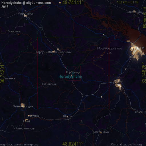
99.68%Clear (daylight) street map image can be seen on geolist.org.
Map coordinates:
49° 44' 29.1" North, 30° 44' 31.2" East
49° 17' 5.6" North, 31° 26' 42.5" East
48° 49' 26.8" North, 32° 8' 53.7" East
Some cities around Horodyshche sort by population:
• Cherkasy
47.4 km =29.5 mi,  70°
70°
• Smila
32.8 km =20.4 mi,  102°
102°
• Vatutine
40.9 km =25.4 mi,  222°
222°
• Zvenihorodka
41.6 km =25.8 mi,  236°
236°
• Korsun-Shevchenkivskyi
20.1 km =12.5 mi,  317°
317°
• Shpola
31.1 km =19.3 mi,  186°
186°
• Lysianka
44.8 km =27.8 mi,  265°
265°
• Ruska Poliana
37.4 km =23.2 mi, 66°
708366 (p: 15,063)
Sources (retrieved 2019-11-25):
» Earth at Night: Flat Maps 2012, 2016