Korsun-Shevchenkivskyi night lights from space
Night Light of Korsun-Shevchenkivskyi (Cherkasy) from space (Ukraine) Src. Average luminocity for 10x10km area is 1.8182% and for 50x50km: 0.1534%.
Analysis of Korsun-Shevchenkivskyi night lights 2016
Square area 10x10 km:
 0%
0%90-99
0%80-89
0%70-79
0%60-69
0%50-59
1.6%40-49
0%30-39
1.87%20-29
0.27%10-19
0.53%0-9
95.72%Square area 50x50 km:
0%90-99
0.01%80-89
0%70-79
0.01%60-69
0.02%50-59
0.09%40-49
0%30-39
0.08%20-29
0.06%10-19
0.08%0-9
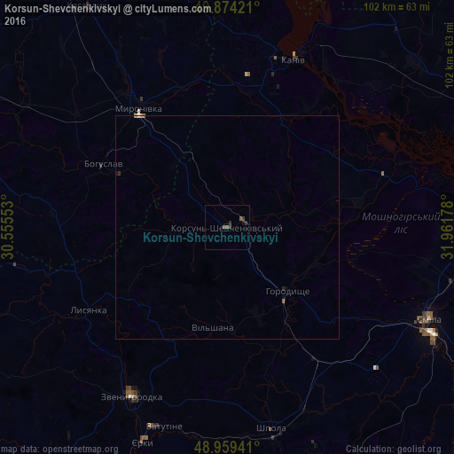
99.65%Clear (daylight) street map image can be seen on geolist.org.
Map coordinates:
49° 52' 27.2" North, 30° 33' 19.9" East
49° 25' 8.2" North, 31° 15' 31.1" East
48° 57' 33.9" North, 31° 57' 42.4" East
Some cities around Korsun-Shevchenkivskyi sort by population:
• Kaniv
39.8 km =24.7 mi,  21°
21°
• Vatutine
47.1 km =29.3 mi,  197°
197°
• Zvenihorodka
43.3 km =26.9 mi,  209°
209°
• Shpola
46.9 km =29.1 mi,  167°
167°
• Bohuslav
31.3 km =19.4 mi,  297°
297°
• Horodyshche
20.1 km =12.5 mi,  137°
137°
• Myronivka
33.4 km =20.8 mi,  323°
323°
• Lysianka
36.2 km =22.5 mi,  239°
239°
704858 (p: 19,000)
Sources (retrieved 2019-11-25):
» Earth at Night: Flat Maps 2012, 2016