Perechyn night lights from space
Night Light of Perechyn (Transcarpathia) from space (Ukraine) Src. Average luminocity for 10x10km area is 0.7976% and for 50x50km: 1.3086%.
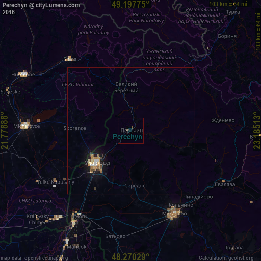
Analysis of Perechyn night lights 2016
Square area 10x10 km:
 0%
0%90-99
0%80-89
0%70-79
0%60-69
0%50-59
0.6%40-49
0.6%30-39
0%20-29
0.6%10-19
0%0-9
98.21%Square area 50x50 km:
0.11%90-99
0.12%80-89
0.25%70-79
0.2%60-69
0.18%50-59
0.17%40-49
0.2%30-39
0.1%20-29
0.13%10-19
1.35%0-9
97.19%Clear (daylight) street map image can be seen on geolist.org.
Map coordinates:
49° 11' 51.9" North, 21° 46' 44" East
48° 44' 10.2" North, 22° 28' 55.2" East
48° 16' 13" North, 23° 11' 6.5" East
Some cities around Perechyn sort by population:
• Uzhgorod
18.8 km =11.7 mi,  225°
225°
• Mukacheve
37.3 km =23.2 mi,  152°
152°
• Michalovce, SK
41.3 km =25.7 mi,  272°
272°
• Snina, SK
37.1 km =23.1 mi,  319°
319°
• Chop
39.5 km =24.5 mi,  211°
211°
• Velykyi Bereznyi
17 km =10.6 mi,  354°
354°
• Chynadiyovo
37.7 km =23.4 mi,  138°
138°
• Sobrance, SK
22.1 km =13.7 mi, 272°
697750 (p: 7,000)
Sources (retrieved 2019-11-25):
» Earth at Night: Flat Maps 2012, 2016