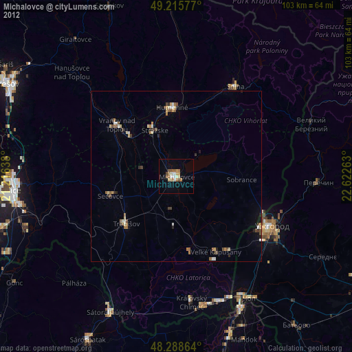
Michalovce night lights from space
Night Light of Michalovce (Košický kraj) from space (Slovakia) Src. Average luminocity for 10x10km area is 11.497% and for 50x50km: 1.6071%.
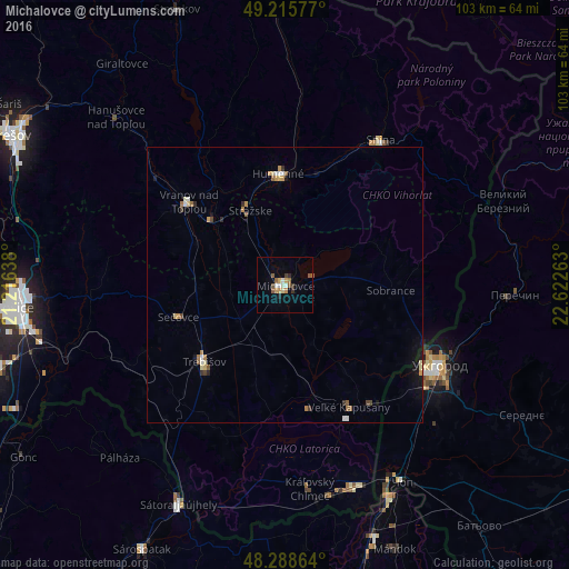
Analysis of Michalovce night lights 2016
Square area 10x10 km:
 0.89%
0.89%90-99
2.08%80-89
1.04%70-79
2.53%60-69
0.6%50-59
2.38%40-49
1.64%30-39
1.04%20-29
1.49%10-19
0.6%0-9
85.71%Square area 50x50 km:
0.15%90-99
0.21%80-89
0.21%70-79
0.29%60-69
0.19%50-59
0.27%40-49
0.16%30-39
0.18%20-29
0.15%10-19
0.54%0-9
97.66%Clear (daylight) street map image can be seen on geolist.org.
Map coordinates:
49° 12' 56.8" North, 21° 12' 59" East
48° 45' 15.6" North, 21° 55' 10.2" East
48° 17' 19.1" North, 22° 37' 21.5" East
Some cities around Michalovce sort by population:
• Uzhgorod, UA
31.9 km =19.8 mi,  118°
118°
• Humenné
20.3 km =12.6 mi,  359°
359°
• Vranov nad Topľou
22.7 km =14.1 mi,  310°
310°
• Trebišov
20.3 km =12.6 mi,  226°
226°
• Snina
31.1 km =19.3 mi,  33°
33°
• Chlmec
14.7 km =9.1 mi,  5°
5°
• Sečovce
19.9 km =12.4 mi,  252°
252°
• Sobrance
19.2 km =11.9 mi,  93°
93°
724144 (p: 40,360)
Sources (retrieved 2019-11-25):
» Earth at Night: Flat Maps 2012, 2016