Snina night lights from space
Night Light of Snina (Prešovský kraj) from space (Slovakia) Src. Average luminocity for 10x10km area is 4.0729% and for 50x50km: 0.5867%.
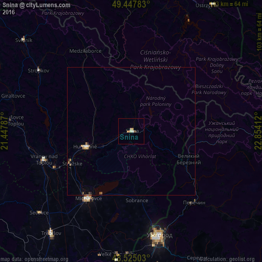
Analysis of Snina night lights 2016
Square area 10x10 km:
 0.45%
0.45%90-99
0.15%80-89
1.19%70-79
1.34%60-69
0.45%50-59
0.6%40-49
0%30-39
0.6%20-29
0%10-19
0.6%0-9
94.64%Square area 50x50 km:
0.05%90-99
0.04%80-89
0.09%70-79
0.16%60-69
0.05%50-59
0.13%40-49
0.04%30-39
0.06%20-29
0.04%10-19
0.05%0-9
99.29%Clear (daylight) street map image can be seen on geolist.org.
Map coordinates:
49° 26' 52.2" North, 21° 26' 52.3" East
48° 59' 18.9" North, 22° 9' 3.6" East
48° 31' 30.1" North, 22° 51' 14.8" East
Some cities around Snina sort by population:
• Michalovce
31.1 km =19.3 mi,  213°
213°
• Humenné
18.1 km =11.2 mi,  251°
251°
• Vranov nad Topľou
35.8 km =22.2 mi, 251°
• Chlmec
19.2 km =11.9 mi,  233°
233°
• Velykyi Bereznyi, UA
25.2 km =15.7 mi,  116°
116°
• Perechyn, UA
37.1 km =23.1 mi,  139°
139°
• Medzilaborce
36.4 km =22.6 mi,  329°
329°
• Sobrance
27.2 km =16.9 mi,  175°
175°
723559 (p: 22,221)
Sources (retrieved 2019-11-25):
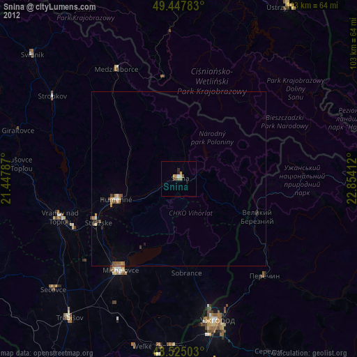
» Earth at Night: Flat Maps 2012, 2016