Chynadiyovo night lights from space
Night Light of Chynadiyovo (Transcarpathia) from space (Ukraine) Src. Average luminocity for 10x10km area is 0.6165% and for 50x50km: 0.7422%.
Analysis of Chynadiyovo night lights 2016
Square area 10x10 km:
 0%
0%90-99
0%80-89
0%70-79
0%60-69
0%50-59
0%40-49
0.14%30-39
0.43%20-29
0%10-19
0.14%0-9
99.29%Square area 50x50 km:
0.01%90-99
0.04%80-89
0.02%70-79
0.02%60-69
0.27%50-59
0.33%40-49
0.17%30-39
0.15%20-29
0.06%10-19
0.15%0-9
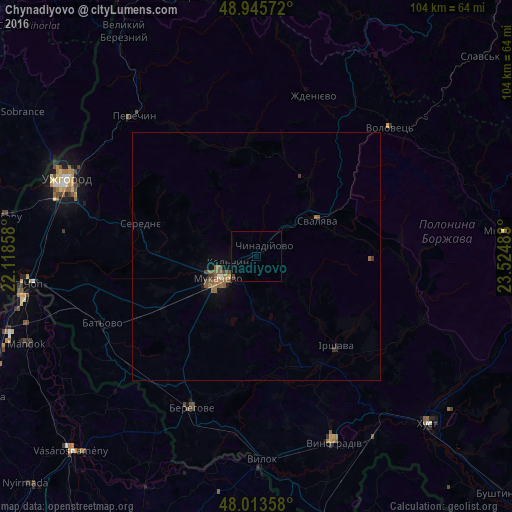
98.77%Clear (daylight) street map image can be seen on geolist.org.
Map coordinates:
48° 56' 44.6" North, 22° 7' 6.9" East
48° 28' 54.4" North, 22° 49' 18.1" East
48° 0' 48.9" North, 23° 31' 29.4" East
Some cities around Chynadiyovo sort by population:
• Mukacheve
9 km =5.6 mi,  238°
238°
• Berehove
33.4 km =20.8 mi,  203°
203°
• Svalyava
14.8 km =9.2 mi,  59°
59°
• Irshava
24.4 km =15.2 mi,  138°
138°
• Bilky
29.5 km =18.3 mi,  128°
128°
• Perechyn
37.7 km =23.4 mi,  318°
318°
• Dovhe
36.1 km =22.4 mi,  111°
111°
• Volovets
36.9 km =22.9 mi,  46°
46°
710463 (p: 6,564)
Sources (retrieved 2019-11-25):
» Earth at Night: Flat Maps 2012, 2016