Velykyi Bereznyi night lights from space
Night Light of Velykyi Bereznyi (Transcarpathia) from space (Ukraine) Src. Average luminocity for 10x10km area is 0% and for 50x50km: 0.2212%.
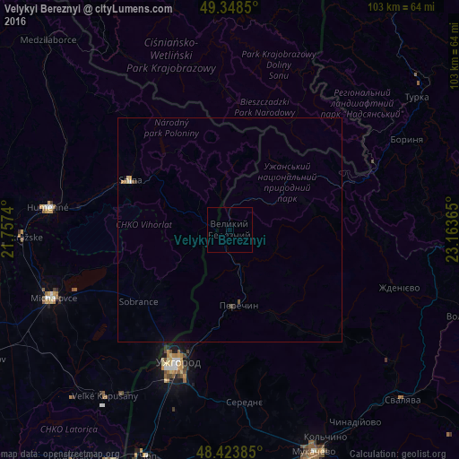
Analysis of Velykyi Bereznyi night lights 2016
Square area 10x10 km:
 0%
0%90-99
0%80-89
0%70-79
0%60-69
0%50-59
0%40-49
0%30-39
0%20-29
0%10-19
0%0-9
100%Square area 50x50 km:
0.02%90-99
0.01%80-89
0.05%70-79
0.05%60-69
0.02%50-59
0.05%40-49
0.02%30-39
0.02%20-29
0.02%10-19
0.05%0-9
99.71%Clear (daylight) street map image can be seen on geolist.org.
Map coordinates:
49° 20' 54.6" North, 21° 45' 26.6" East
48° 53' 17.9" North, 22° 27' 37.9" East
48° 25' 25.9" North, 23° 9' 49.1" East
Some cities around Velykyi Bereznyi sort by population:
• Uzhgorod
32.4 km =20.1 mi,  201°
201°
• Michalovce, SK
42.3 km =26.3 mi,  249°
249°
• Humenné, SK
40.1 km =24.9 mi,  277°
277°
• Snina, SK
25.2 km =15.7 mi,  296°
296°
• Chlmec, SK
38.1 km =23.7 mi,  269°
269°
• Turka
50.9 km =31.6 mi,  54°
54°
• Perechyn
17 km =10.6 mi,  174°
174°
• Sobrance, SK
25.9 km =16.1 mi,  231°
231°
690197 (p: 7,078)
Sources (retrieved 2019-11-25):
» Earth at Night: Flat Maps 2012, 2016