Sousse night lights from space
Night Light of Sousse (Sūsah) from space (Tunisia) Src. Average luminocity for 10x10km area is 68.0752% and for 50x50km: 17.2313%.
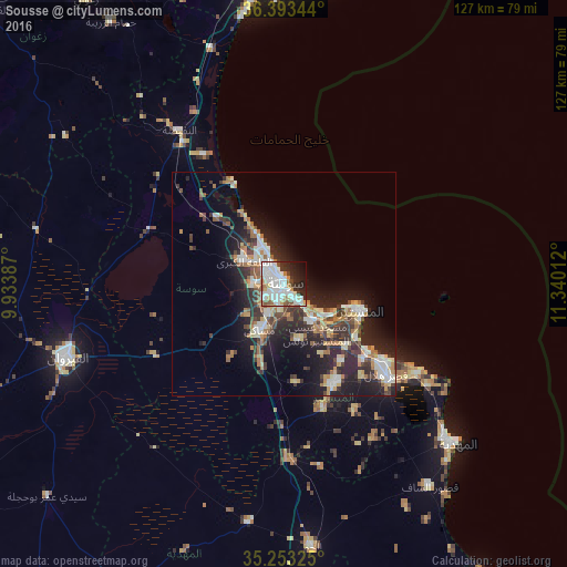
Analysis of Sousse night lights 2016
Square area 10x10 km:
 26.22%
90-99
22.03%80-89
3.15%70-79
4.37%60-69
5.77%50-59
4.72%40-49
4.55%30-39
4.37%20-29
12.94%10-19
8.92%0-9
2.97%Square area 50x50 km:
2.78%90-99
2.92%80-89
2.08%70-79
1.76%60-69
2.59%50-59
1.59%40-49
2.37%30-39
3.16%20-29
6.91%10-19
9.98%0-9
63.85%Clear (daylight) street map image can be seen on geolist.org.
Map coordinates:
36° 23' 36.4" North, 9° 56' 1.9" East
35° 49' 31.4" North, 10° 38' 13.2" East
35° 15' 11.7" North, 11° 20' 24.4" East
Some cities around Sousse sort by population:
• Monastir
17.9 km =11.1 mi,  107°
107°
• Msaken
11.8 km =7.3 mi,  205°
205°
• Skanes
15.4 km =9.6 mi, 107°
• Hammam Sousse
5 km =3.1 mi,  322°
322°
• Akouda
8.1 km =5 mi,  306°
306°
• Ouardenine
13.3 km =8.3 mi,  165°
165°
• Sahline
10.6 km =6.6 mi,  140°
140°
• Port el Kantaoui
8.4 km =5.2 mi,  332°
332°
2464915 (p: 164,123)
Sources (retrieved 2019-11-25):
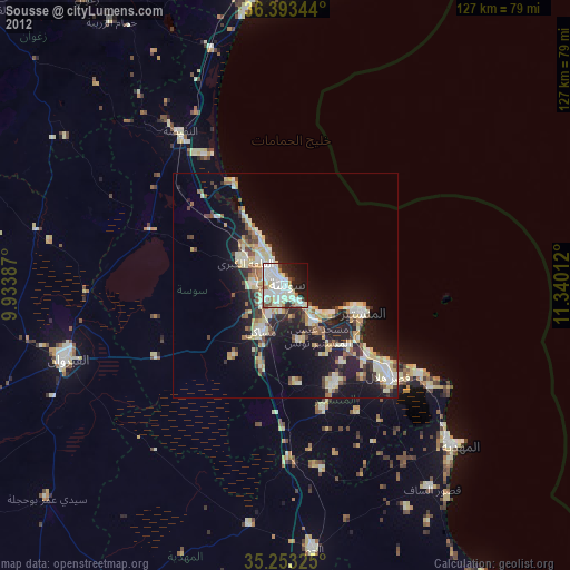
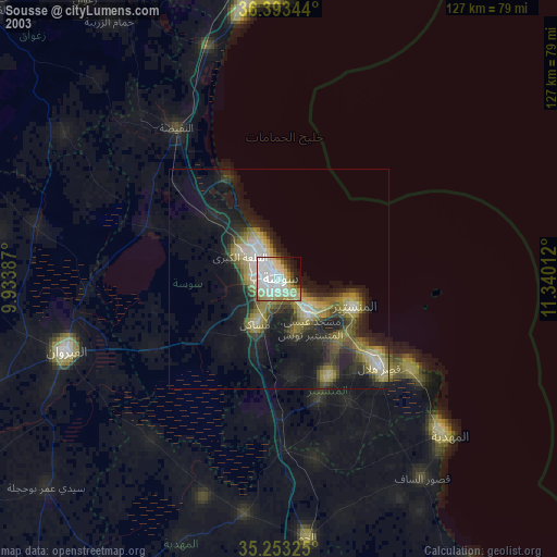
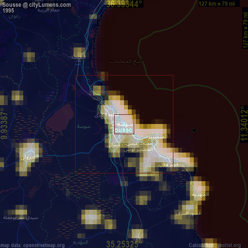
» NASA, Earths city lights 1995
» NASA city lights 2003
» Earth at Night: Flat Maps 2012, 2016