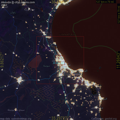
Akouda night lights from space
Night Light of Akouda (Sūsah) from space (Tunisia) Src. Average luminocity for 10x10km area is 64.3755% and for 50x50km: 14.9342%.
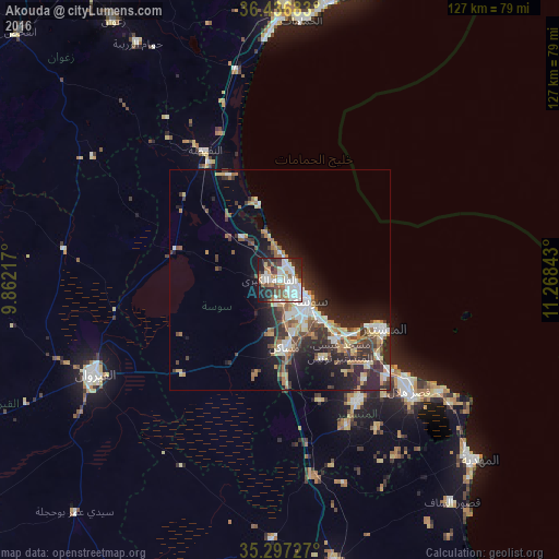
Analysis of Akouda night lights 2016
Square area 10x10 km:
 18.86%
90-99
20.7%80-89
2.56%70-79
4.4%60-69
9.34%50-59
6.96%40-49
5.86%30-39
8.06%20-29
13.92%10-19
9.34%0-9
0%Square area 50x50 km:
2.32%90-99
2.44%80-89
1.83%70-79
1.38%60-69
2.43%50-59
1.58%40-49
2.27%30-39
2.92%20-29
5.72%10-19
7.47%0-9
69.64%Clear (daylight) street map image can be seen on geolist.org.
Map coordinates:
36° 26' 12.6" North, 9° 51' 43.8" East
35° 52' 8.8" North, 10° 33' 55.1" East
35° 17' 50.2" North, 11° 16' 6.3" East
Some cities around Akouda sort by population:
• Sousse
8.1 km =5 mi,  126°
126°
• Msaken
15.6 km =9.7 mi,  174°
174°
• Hammam Sousse
3.5 km =2.2 mi,  104°
104°
• Ouardenine
20.3 km =12.6 mi,  151°
151°
• Sahline
18.5 km =11.5 mi, 134°
• Sidi Bou Ali
12.8 km =8 mi,  319°
319°
• Harqalah
18.6 km =11.6 mi,  344°
344°
• Port el Kantaoui
3.7 km =2.3 mi,  45°
45°
2473913 (p: 20,027)
Sources (retrieved 2019-11-25):
» Earth at Night: Flat Maps 2012, 2016