Msaken night lights from space
Night Light of Msaken (Sūsah) from space (Tunisia) Src. Average luminocity for 10x10km area is 41.5769% and for 50x50km: 16.3071%.
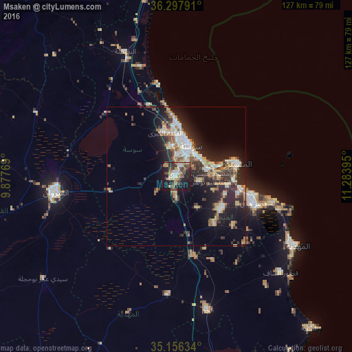
Analysis of Msaken night lights 2016
Square area 10x10 km:
 4.02%
4.02%90-99
5.42%80-89
7.34%70-79
3.32%60-69
9.44%50-59
2.8%40-49
12.24%30-39
8.57%20-29
12.76%10-19
30.94%0-9
3.15%Square area 50x50 km:
2.37%90-99
2.5%80-89
2.08%70-79
1.65%60-69
2.62%50-59
1.62%40-49
2.43%30-39
3.1%20-29
6.48%10-19
10.12%0-9
65.03%Clear (daylight) street map image can be seen on geolist.org.
Map coordinates:
36° 17' 52.5" North, 9° 52' 39.7" East
35° 43' 45" North, 10° 34' 51" East
35° 9' 22.8" North, 11° 17' 2.2" East
Some cities around Msaken sort by population:
• Sousse
11.8 km =7.3 mi,  25°
25°
• Djemmal
19.9 km =12.4 mi,  126°
126°
• Hammam Sousse
14.8 km =9.2 mi,  7°
7°
• Akouda
15.6 km =9.7 mi,  354°
354°
• Ouardenine
8.7 km =5.4 mi,  104°
104°
• Sahline
12 km =7.5 mi,  77°
77°
• Menzel Kamel
14 km =8.7 mi,  146°
146°
• Port el Kantaoui
18.2 km =11.3 mi,  3°
3°
2469140 (p: 64,563)
Sources (retrieved 2019-11-25):
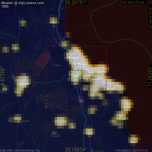
» NASA, Earths city lights 1995
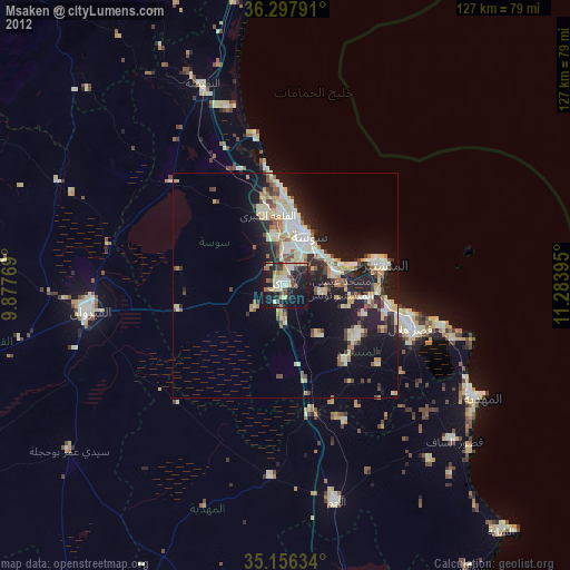
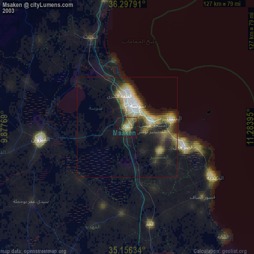
» NASA city lights 2003
» Earth at Night: Flat Maps 2012, 2016