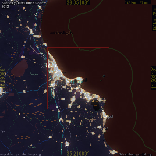
Skanes night lights from space
Night Light of Skanes (Al Munastīr) from space (Tunisia) Src. Average luminocity for 10x10km area is 37.2657% and for 50x50km: 18.5269%.


Analysis of Skanes night lights 2016
Square area 10x10 km:
 6.12%
6.12%90-99
5.77%80-89
5.59%70-79
3.15%60-69
5.24%50-59
5.42%40-49
6.82%30-39
5.77%20-29
9.97%10-19
26.4%0-9
19.76%Square area 50x50 km:
2.79%90-99
2.92%80-89
2.53%70-79
2.05%60-69
2.96%50-59
1.56%40-49
2.4%30-39
3.27%20-29
7.3%10-19
12.6%0-9
59.62%Clear (daylight) street map image can be seen on geolist.org.
Map coordinates:
36° 21' 6" North, 10° 5' 48.8" East
35° 46' 60" North, 10° 48' 0" East
35° 12' 39.2" North, 11° 30' 11.3" East
Some cities around Skanes sort by population:
• Sousse
15.4 km =9.6 mi,  287°
287°
• Monastir
2.4 km =1.5 mi,  104°
104°
• Ouardenine
14 km =8.7 mi,  234°
234°
• Sahline
8.8 km =5.5 mi,  246°
246°
• Seïada
15.2 km =9.4 mi,  146°
146°
• Banbalah
9.3 km =5.8 mi,  180°
180°
• Ksibet el Mediouni
11.5 km =7.1 mi,  160°
160°
• Lemta
15 km =9.3 mi, 149°
2467246 (p: 64,222)
Sources (retrieved 2019-11-25):
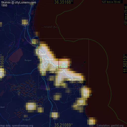
» NASA, Earths city lights 1995
» NASA city lights 2003
» Earth at Night: Flat Maps 2012, 2016