Hammam Sousse night lights from space
Night Light of Hammam Sousse (Sūsah) from space (Tunisia) Src. Average luminocity for 10x10km area is 66.7465% and for 50x50km: 15.5764%.
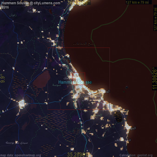
Analysis of Hammam Sousse night lights 2016
Square area 10x10 km:
 22.55%
90-99
21.15%80-89
2.8%70-79
4.37%60-69
8.74%50-59
5.77%40-49
6.29%30-39
6.64%20-29
11.71%10-19
7.87%0-9
2.1%Square area 50x50 km:
2.44%90-99
2.59%80-89
1.82%70-79
1.47%60-69
2.55%50-59
1.56%40-49
2.22%30-39
3%20-29
6.2%10-19
8.28%0-9
67.87%Clear (daylight) street map image can be seen on geolist.org.
Map coordinates:
36° 25' 43.3" North, 9° 54' 0" East
35° 51' 39.2" North, 10° 36' 11.3" East
35° 17' 20.4" North, 11° 18' 22.5" East
Some cities around Hammam Sousse sort by population:
• Sousse
5 km =3.1 mi,  142°
142°
• Msaken
14.8 km =9.2 mi,  187°
187°
• Skanes
19.7 km =12.2 mi,  115°
115°
• Akouda
3.5 km =2.2 mi,  284°
284°
• Ouardenine
18 km =11.2 mi,  159°
159°
• Sahline
15.6 km =9.7 mi, 141°
• Sidi Bou Ali
15.8 km =9.8 mi,  312°
312°
• Port el Kantaoui
3.6 km =2.2 mi,  347°
347°
2470579 (p: 33,834)
Sources (retrieved 2019-11-25):
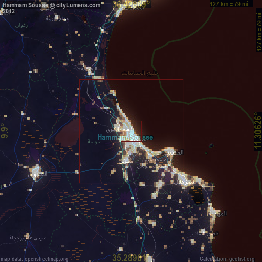
» Earth at Night: Flat Maps 2012, 2016