Sidi Bouzid night lights from space
Night Light of Sidi Bouzid (Sīdī Bū Zayd) from space (Tunisia) Src. Average luminocity for 10x10km area is 19.1381% and for 50x50km: 1.1477%.
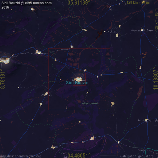
Analysis of Sidi Bouzid night lights 2016
Square area 10x10 km:
 0.87%
0.87%90-99
1.92%80-89
2.8%70-79
5.94%60-69
3.85%50-59
2.1%40-49
0.7%30-39
2.1%20-29
1.4%10-19
9.09%0-9
69.23%Square area 50x50 km:
0.04%90-99
0.08%80-89
0.18%70-79
0.32%60-69
0.25%50-59
0.16%40-49
0.04%30-39
0.19%20-29
0.11%10-19
0.39%0-9
98.26%Clear (daylight) street map image can be seen on geolist.org.
Map coordinates:
35° 36' 42.8" North, 8° 46' 54.5" East
35° 2' 17.6" North, 9° 29' 5.8" East
34° 27' 37.8" North, 10° 11' 17.1" East
Some cities around Sidi Bouzid sort by population:
• Kasserine
60.7 km =37.7 mi,  283°
283°
• As Sanad
67.1 km =41.7 mi,  197°
197°
• Haffouz
68.3 km =42.4 mi,  14°
14°
• Er Regueb
33.9 km =21.1 mi,  125°
125°
• Sbiba
67.4 km =41.9 mi,  326°
326°
• Jilma
26.7 km =16.6 mi,  347°
347°
• Mezzouna
60.7 km =37.7 mi,  147°
147°
• Bir el Hafey
29.1 km =18.1 mi,  246°
246°
2465840 (p: 42,098)
Sources (retrieved 2019-11-25):
» Earth at Night: Flat Maps 2012, 2016