Jilma night lights from space
Night Light of Jilma (Sīdī Bū Zayd) from space (Tunisia) Src. Average luminocity for 10x10km area is 3.5787% and for 50x50km: 0.7251%.
Analysis of Jilma night lights 2016
Square area 10x10 km:
 0.35%
0.35%90-99
0.35%80-89
0.87%70-79
1.22%60-69
0%50-59
0%40-49
0%30-39
0.7%20-29
1.4%10-19
1.4%0-9
93.71%Square area 50x50 km:
0.01%90-99
0.01%80-89
0.17%70-79
0.17%60-69
0.12%50-59
0.13%40-49
0.06%30-39
0.11%20-29
0.11%10-19
0.21%0-9
98.89%Clear (daylight) street map image can be seen on geolist.org.
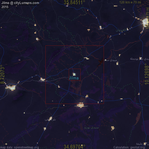
Map coordinates:
35° 50' 42.4" North, 8° 43' 14.6" East
35° 16' 23.2" North, 9° 25' 25.9" East
34° 41' 49.3" North, 10° 7' 37.1" East
Some cities around Jilma sort by population:
• Kairouan
75.7 km =47 mi,  53°
53°
• Kasserine
54.6 km =33.9 mi,  257°
257°
• Sidi Bouzid
26.7 km =16.6 mi,  167°
167°
• Maktar
68.1 km =42.3 mi,  342°
342°
• Haffouz
46 km =28.6 mi,  29°
29°
• Er Regueb
56.6 km =35.2 mi,  144°
144°
• Sbiba
43.7 km =27.2 mi,  313°
313°
• Bir el Hafey
43.3 km =26.9 mi,  208°
208°
2470120 (p: 5,647)
Sources (retrieved 2019-11-25):
» Earth at Night: Flat Maps 2012, 2016