As Sanad night lights from space
Night Light of As Sanad (Gafsa) from space (Tunisia) Src. Average luminocity for 10x10km area is 0.0175% and for 50x50km: 0.4186%.
Analysis of As Sanad night lights 2016
Square area 10x10 km:
 0%
0%90-99
0%80-89
0%70-79
0%60-69
0%50-59
0%40-49
0%30-39
0%20-29
0%10-19
0%0-9
100%Square area 50x50 km:
0%90-99
0%80-89
0.08%70-79
0.17%60-69
0.03%50-59
0.08%40-49
0.15%30-39
0.1%20-29
0.04%10-19
0.04%0-9
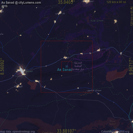
99.3%Clear (daylight) street map image can be seen on geolist.org.
Map coordinates:
35° 2' 25.8" North, 8° 33' 39.3" East
34° 27' 46.1" North, 9° 15' 50.5" East
33° 52' 51.9" North, 9° 58' 1.8" East
Some cities around As Sanad sort by population:
• Gafsa
44.2 km =27.5 mi,  264°
264°
• El Hamma
80.2 km =49.8 mi,  142°
142°
• Sidi Bouzid
67.1 km =41.7 mi,  17°
17°
• Metlaoui
80.7 km =50.1 mi, 258°
• Skhira
76.2 km =47.3 mi,  103°
103°
• Er Regueb
65 km =40.4 mi,  47°
47°
• Mezzouna
54.5 km =33.9 mi,  76°
76°
• Bir el Hafey
52.6 km =32.7 mi,  352°
352°
2473183 (p: 7,859)
Sources (retrieved 2019-11-25):
» Earth at Night: Flat Maps 2012, 2016