Er Regueb night lights from space
Night Light of Er Regueb (Sīdī Bū Zayd) from space (Tunisia) Src. Average luminocity for 10x10km area is 5.9322% and for 50x50km: 0.4061%.
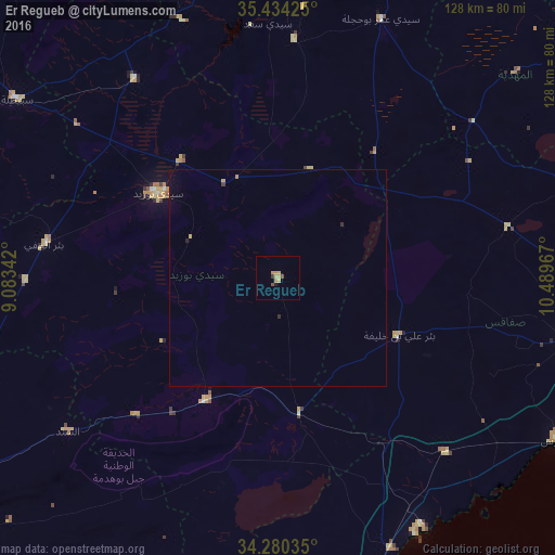
Analysis of Er Regueb night lights 2016
Square area 10x10 km:
 0%
0%90-99
0%80-89
2.01%70-79
2.75%60-69
0.37%50-59
0.37%40-49
1.1%30-39
0.73%20-29
0.18%10-19
0.55%0-9
91.94%Square area 50x50 km:
0%90-99
0%80-89
0.12%70-79
0.12%60-69
0.04%50-59
0.01%40-49
0.04%30-39
0.06%20-29
0.09%10-19
0.05%0-9
99.46%Clear (daylight) street map image can be seen on geolist.org.
Map coordinates:
35° 26' 3.3" North, 9° 5' 0.3" East
34° 51' 33.6" North, 9° 47' 11.5" East
34° 16' 49.3" North, 10° 29' 22.8" East
Some cities around Er Regueb sort by population:
• Sidi Bouzid
33.9 km =21.1 mi,  305°
305°
• Skhira
67.5 km =41.9 mi,  157°
157°
• As Sanad
65 km =40.4 mi,  227°
227°
• Haffouz
86.5 km =53.7 mi,  353°
353°
• Chorbane
72.3 km =44.9 mi,  48°
48°
• Jilma
56.6 km =35.2 mi,  324°
324°
• Mezzouna
31.7 km =19.7 mi,  170°
170°
• Bir el Hafey
54.7 km =34 mi,  278°
278°
2473258 (p: 6,702)
Sources (retrieved 2019-11-25):
» Earth at Night: Flat Maps 2012, 2016